Cotopaxi Cotopaxi
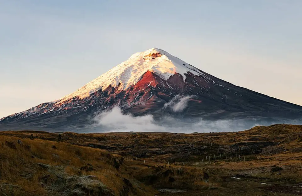
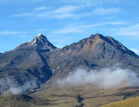
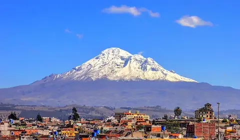
Cotopaxi is a mountain and stratovolcano located in the Cotopaxi Province of Ecuador. Situated in the Andes, it is one of the most looked-up sights in the country.
Planning a visit
The driest months at the mountain are July, August, and September, which see between 82 mm and 141 mm of rain over 11 to 14 days. Other months experience significantly more precipitation, often exceeding 200 mm of rain on more than 20 days. Temperatures remain consistent throughout the year, with daily highs around 4 °C to 6 °C and lows dropping between -1 °C and -3 °C.
Cotopaxi is located 52 km from Quito. The nearest airport is Cotopaxi International Airport in Latacunga, 32 km away, while the major hub of Mariscal Sucre International Airport in Quito is 62 km from the site. Visitors can combine a trip here with a visit to the Illiniza mountain, located 30.8 km away.
Weather by month
Temperatures stay much the same all year, around 2 °C on average. The wettest is April, with about 296 mm of rain.
| Jan | Feb | Mar | Apr | May | Jun | Jul | Aug | Sep | Oct | Nov | Dec | |
|---|---|---|---|---|---|---|---|---|---|---|---|---|
| Average high, °C | 6 | 6 | 6 | 6 | 6 | 5 | 4 | 5 | 6 | 6 | 6 | 6 |
| Average low, °C | -2 | -1 | -1 | -1 | -2 | -2 | -3 | -3 | -3 | -2 | -2 | -2 |
| Rainfall, mm | 195 | 231 | 294 | 296 | 219 | 142 | 94 | 82 | 141 | 220 | 232 | 222 |
| Rainy days | 26 | 26 | 28 | 28 | 26 | 23 | 14 | 11 | 11 | 21 | 22 | 25 |
Temperatures and rainfall: 1981–2010 averages for this spot (4 km grid), from CHELSA. Rainy days: 2015–2024, NASA POWER.