Quilotoa
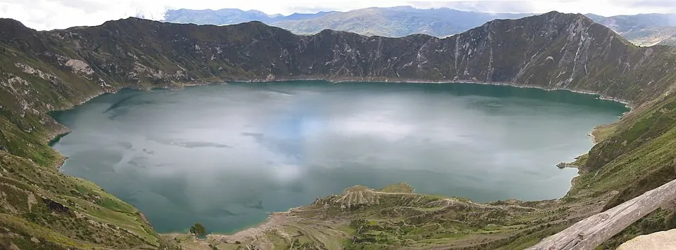
Quilotoa is a volcano located in the Cordillera Occidental within Pujilí Canton, Ecuador, reaching an elevation of 3800 meters. It is one of the most looked-up sights in the country, ranking 4th among the country's sights on English Wikipedia.
Planning a visit
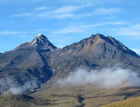
July, August, and September experience the lowest rainfall, with rain on about 14 to 18 days per month and daily highs of 13 °C to 14 °C and lows of 5 °C. March and April see the highest rain, with up to 391 mm falling on about 28 days. The volcano is located 83 km from the capital city of Quito. The nearest airport is Cotopaxi International Airport in Latacunga, 32 km away, while Mariscal Sucre International Airport in Quito is 102 km away. Illiniza is nearby at a distance of 30.3 km.
Weather by month
Temperatures stay much the same all year, around 9 °C on average. The wettest is March, with about 391 mm of rain.
| Jan | Feb | Mar | Apr | May | Jun | Jul | Aug | Sep | Oct | Nov | Dec | |
|---|---|---|---|---|---|---|---|---|---|---|---|---|
| Average high, °C | 13 | 13 | 13 | 13 | 13 | 13 | 13 | 14 | 14 | 13 | 13 | 13 |
| Average low, °C | 6 | 6 | 6 | 6 | 6 | 6 | 5 | 5 | 5 | 6 | 6 | 6 |
| Rainfall, mm | 260 | 314 | 391 | 381 | 239 | 140 | 90 | 86 | 127 | 146 | 157 | 209 |
| Rainy days | 27 | 27 | 28 | 28 | 26 | 24 | 18 | 14 | 14 | 22 | 23 | 26 |
Temperatures and rainfall: 1981–2010 averages for this spot (4 km grid), from CHELSA. Rainy days: 2015–2024, NASA POWER.