Cape Enniberg Kap Enniberg
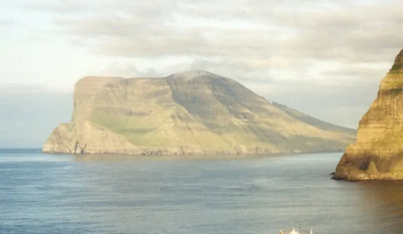
Cape Enniberg is a promontory in the Faroe Islands situated within the Viðareiðis Municipality. It is one of the 10 most looked-up sights in the country on this website and ranks 8th among the country's sights in terms of English Wikipedia lookups.
Planning a visit
The best time to visit is during the months with the lowest rainfall, such as May, which has about 162 mm of rain, or June and July, which have about 118 mm to 121 mm. Temperatures are coolest in January, February, and March, with averages of 3 °C. The warmest months are July and August, when temperatures average 10 °C.
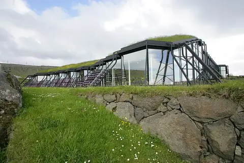
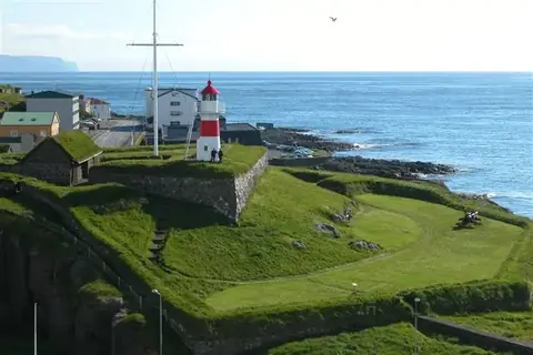
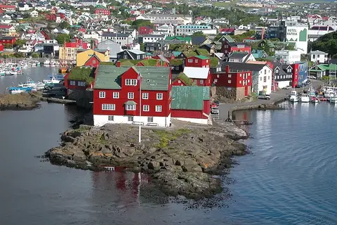
To reach Cape Enniberg, you can fly to Vágar Airport, which is 51 km away. The site is also 43 km from the capital, Tórshavn. While visiting, you can combine your trip with nearby locations such as Slættaratindur, which is 25 km away, or Risin og Kellingin, located 28.5 km from the promontory. Other nearby sites include the Nordic House in the Faroe Islands, Tórshavn Cathedral, and Skansin.
Weather by month
The warmest month is August, averaging 10 °C. Rain is spread fairly evenly through the year.
| Jan | Feb | Mar | Apr | May | Jun | Jul | Aug | Sep | Oct | Nov | Dec | |
|---|---|---|---|---|---|---|---|---|---|---|---|---|
| Average temperature, °C | 3 | 3 | 3 | 4 | 6 | 8 | 10 | 10 | 9 | 7 | 5 | 4 |
| Rainfall, mm | 332 | 257 | 302 | 202 | 162 | 118 | 121 | 178 | 270 | 341 | 325 | 303 |
| Rainy days | 23 | 19 | 21 | 15 | 13 | 14 | 16 | 15 | 19 | 20 | 21 | 24 |
Temperatures and rainfall: 1981–2010 averages for this spot (4 km grid), from CHELSA. Rainy days: 2015–2024, NASA POWER.