Slættaratindur
Slættaratindur is a mountain located in the Faroe Islands within the Runavík Municipality. Standing at an elevation of 880 meters, it is the third most looked-up sight in the country on English Wikipedia. The mountain serves as a primary destination for those exploring the natural landscape of the islands.
Planning a visit
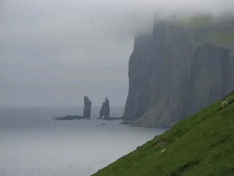
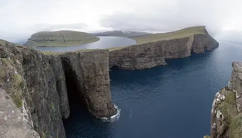
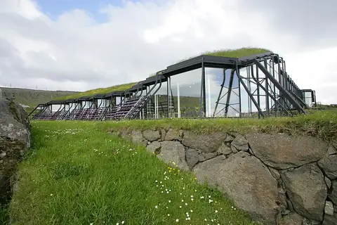
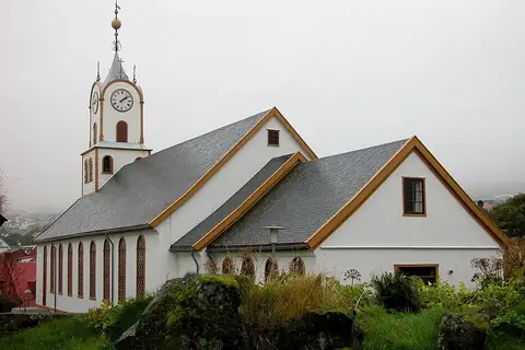
The Faroe Islands experience consistent rainfall and cool temperatures throughout the year. The warmest months are June, July, and August, when average temperatures reach 7 °C to 9 °C. During these months, rainfall occurs on 14 to 16 days. The winter months from December to March are colder, with average temperatures of 1 °C and rain occurring on up to 24 days per month. Visitors should prepare for changing weather conditions regardless of the time of year. The nearest airport is Vágar Airport, located 29 kilometers from the mountain. From Tórshavn, the distance is 34 kilometers. Travelers can combine a visit to Slættaratindur with nearby sites such as the sea stacks Risin og Kellingin, located 5.5 kilometers away, or Cape Enniberg, which is 25 kilometers away. Other accessible locations include Sørvágsvatn at 29.7 kilometers, the Nordic House in the Faroe Islands at 32.8 kilometers, and Tórshavn Cathedral at 34.3 kilometers.
Weather by month
The warmest month is July, averaging 9 °C. Rain is spread fairly evenly through the year.
| Jan | Feb | Mar | Apr | May | Jun | Jul | Aug | Sep | Oct | Nov | Dec | |
|---|---|---|---|---|---|---|---|---|---|---|---|---|
| Average temperature, °C | 1 | 1 | 1 | 2 | 5 | 7 | 9 | 9 | 7 | 5 | 3 | 1 |
| Rainfall, mm | 394 | 312 | 350 | 231 | 168 | 128 | 139 | 196 | 305 | 392 | 371 | 355 |
| Rainy days | 23 | 19 | 21 | 15 | 13 | 14 | 16 | 15 | 19 | 20 | 21 | 24 |
Temperatures and rainfall: 1981–2010 averages for this spot (4 km grid), from CHELSA. Rainy days: 2015–2024, NASA POWER.