Guadeloupe
Territory · Americas, Caribbean
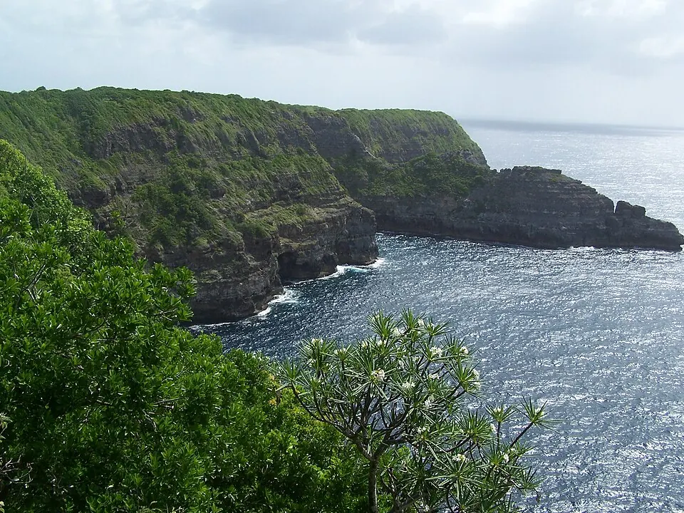
Guadeloupe is a territory in the Caribbean region of the Americas, with its capital at Basse-Terre. It covers an area of 1628 square kilometers and has a population of about 384,000. The territory offers visitors natural sights and local cuisine.
Highlights
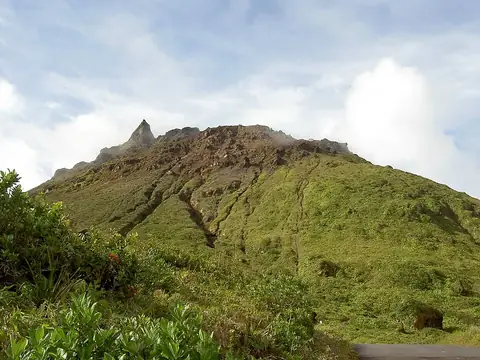
The site covers 1 top sight, which is La Grande Soufrière. Additional places worth a look include Carbet Falls and Guadeloupe National Park.
Food and drink
Local dishes include Pelau.
When to go
The climate data reflects averages only at the capital, Basse-Terre. Temperatures stay consistent throughout the year, ranging from average 24 °C in January and February to average 27 °C in August and September. Rain varies by month. March is the driest month with 51 mm of rain over about 10 days, while September is the wettest with 191 mm of rain over about 18 days. July has the highest number of rainy days at about 21 days with 127 mm of rain.
Practical notes
The currency is the euro. The official language is French. Plugs used are type C and E with a voltage of 230.0 V. Driving is on the right side of the road. The time zone is UTC−04:00.
Food and drink to try in Guadeloupe
- Pelau
Top sights in Guadeloupe
Weather by month
The warmest month is September, averaging 27 °C. The wettest is September, with about 191 mm of rain.
| Jan | Feb | Mar | Apr | May | Jun | Jul | Aug | Sep | Oct | Nov | Dec | |
|---|---|---|---|---|---|---|---|---|---|---|---|---|
| Average temperature, °C | 25 | 24 | 25 | 25 | 26 | 26 | 26 | 27 | 27 | 26 | 26 | 25 |
| Rainfall, mm | 74 | 55 | 51 | 82 | 113 | 105 | 127 | 150 | 191 | 183 | 173 | 102 |
| Rainy days | 13 | 10 | 10 | 12 | 15 | 17 | 21 | 20 | 18 | 19 | 16 | 15 |
Temperatures and rainfall: 1981–2010 averages for Basse-Terre (4 km grid), from CHELSA. Rainy days: 2015–2024, NASA POWER.
Also worth a look
- Carbet Falls
- Guadeloupe National Park