La Grande Soufrière
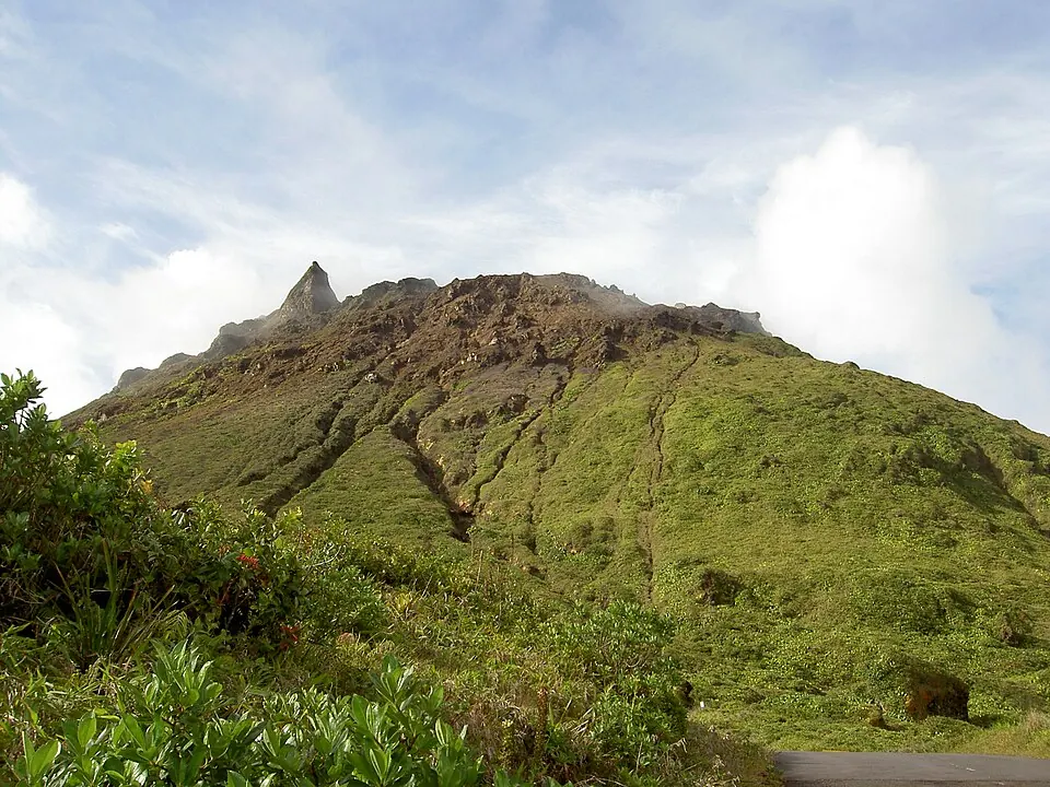
La Grande Soufrière is a mountain, stratovolcano, lava dome, and summit located in Saint-Claude, Guadeloupe. It stands at an elevation of 1467 meters and is part of the Guadeloupe mountain range. It is one of the most looked-up sights in Guadeloupe.
Planning a visit
Average temperatures remain consistent throughout the year at 20 °C to 23 °C. Rain falls every month, with the drier period occurring from February to March, seeing about 93 mm to 94 mm of rain across about 10 days each month. Wetter conditions occur from July to November, peaking in September with 294 mm of rain over about 18 days.
The nearest airport is Basse-Terre Baillif Airport in Basse-Terre, located 9 km away, which is also the capital and 9 km from the site. The international hub is Maryse Condé International Airport in Pointe-à-Pitre, 28 km away.
Weather by month
The warmest month is September, averaging 23 °C. The wettest is September, with about 294 mm of rain.
| Jan | Feb | Mar | Apr | May | Jun | Jul | Aug | Sep | Oct | Nov | Dec | |
|---|---|---|---|---|---|---|---|---|---|---|---|---|
| Average temperature, °C | 20 | 20 | 20 | 21 | 22 | 23 | 23 | 23 | 23 | 22 | 22 | 21 |
| Rainfall, mm | 129 | 94 | 93 | 141 | 184 | 176 | 206 | 246 | 294 | 289 | 274 | 178 |
| Rainy days | 13 | 10 | 10 | 12 | 15 | 17 | 21 | 20 | 18 | 19 | 16 | 15 |
Temperatures and rainfall: 1981–2010 averages for this spot (4 km grid), from CHELSA. Rainy days: 2015–2024, NASA POWER.