Guyana
Country · Americas, South America
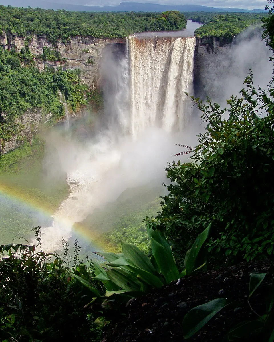
Guyana is a country in South America bordered by Brazil, Suriname, and Venezuela. Its capital is Georgetown. The country covers 214,970 square kilometres with a population of about 836,000.
Highlights
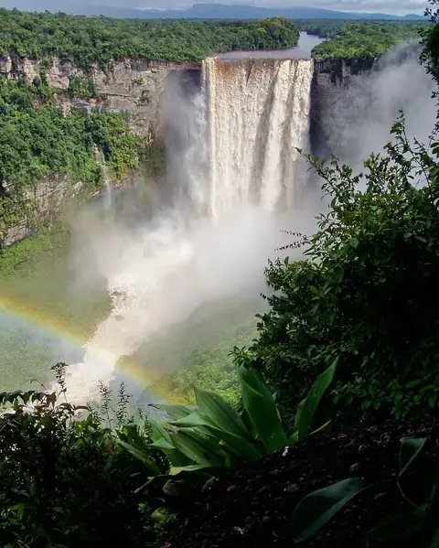
The site covers 5 sights. In the capital city of Georgetown, visitors can find St. George's Cathedral, Stabroek Market, and the Parliament Building. Nature sights include Kaieteur Falls and Kaieteur National Park.
Food and drink
Local dishes include Pholourie.
When to go
The climate data shows averages only for the capital, Georgetown. September and October are drier months, with about 90 to 91 mm of rain across 20 rainy days, and average temperatures of 27 °C. May, June, and July are the wettest months, with rainfall totals from 261 to 300 mm and up to 30 rainy days per month. Average temperatures remain steady between 25 °C and 27 °C throughout the year.
Practical notes
Guyana uses the Guyanese dollar and English as its language. Plugs type A, B, and G are used with a voltage of 240.0 V. Driving is on the left side. The time zone is UTC−04:00.
Cities
Food and drink to try in Guyana
- Pholourie
Top sights in Guyana




Weather by month
Temperatures stay much the same all year, around 26 °C on average. The wettest is June, with about 300 mm of rain.
| Jan | Feb | Mar | Apr | May | Jun | Jul | Aug | Sep | Oct | Nov | Dec | |
|---|---|---|---|---|---|---|---|---|---|---|---|---|
| Average temperature, °C | 25 | 26 | 26 | 26 | 26 | 26 | 26 | 27 | 27 | 27 | 27 | 26 |
| Rainfall, mm | 228 | 106 | 100 | 162 | 296 | 300 | 261 | 179 | 91 | 90 | 139 | 234 |
| Rainy days | 21 | 17 | 18 | 21 | 28 | 30 | 30 | 26 | 20 | 20 | 24 | 27 |
Temperatures and rainfall: 1981–2010 averages for Georgetown (4 km grid), from CHELSA. Rainy days: 2015–2024, NASA POWER.