Suriname
Country · Americas, South America
Suriname is located in South America, sharing borders with Brazil, France, and Guyana. Its capital is Paramaribo, and the country covers 163,270 square kilometers with a population of about 640,000. It offers travelers access to UNESCO-listed nature and historical sites.
Highlights
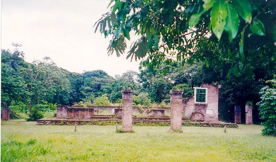
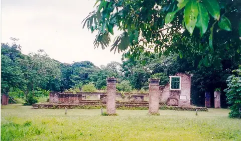
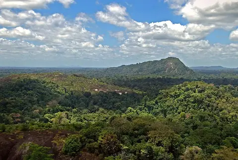
The country features 2 major sights. The Central Suriname Nature Reserve is a protected area, while Jodensavanne is a UNESCO site.
Food and drink
Local dishes include Pholourie and Pom.
When to go
The climate data is for the capital, Paramaribo. Temperatures are consistent year-round, with daily highs between 27 °C and 30 °C and lows between 24 °C and 25 °C. Rainfall is frequent throughout the year. September and October are the driest months, with about 15 days of rain each, while May, June, and July experience the most rain, with nearly daily precipitation.
Practical notes
The currency is the Surinamese dollar. The official language is Dutch. The country uses type C and F plugs with a voltage of 127.0 V. Driving is on the left side of the road. The time zone is UTC−03:00, and the calling code is +597.
Food and drink to try in Suriname
- Pholourie
- Pom
Top sights in Suriname
Weather by month
Temperatures stay much the same all year, around 26 °C on average. The wettest is June, with about 308 mm of rain.
| Jan | Feb | Mar | Apr | May | Jun | Jul | Aug | Sep | Oct | Nov | Dec | |
|---|---|---|---|---|---|---|---|---|---|---|---|---|
| Average high, °C | 27 | 28 | 28 | 28 | 28 | 28 | 28 | 29 | 30 | 30 | 29 | 28 |
| Average low, °C | 24 | 24 | 24 | 25 | 24 | 24 | 24 | 24 | 25 | 25 | 25 | 24 |
| Rainfall, mm | 216 | 128 | 111 | 195 | 297 | 308 | 224 | 150 | 101 | 80 | 111 | 175 |
| Rainy days | 22 | 20 | 19 | 24 | 30 | 30 | 30 | 24 | 15 | 15 | 22 | 29 |
Temperatures and rainfall: 1981–2010 averages for Paramaribo (4 km grid), from CHELSA. Rainy days: 2015–2024, NASA POWER.