Central Suriname Nature Reserve
Suriname UNESCO World Heritage Site
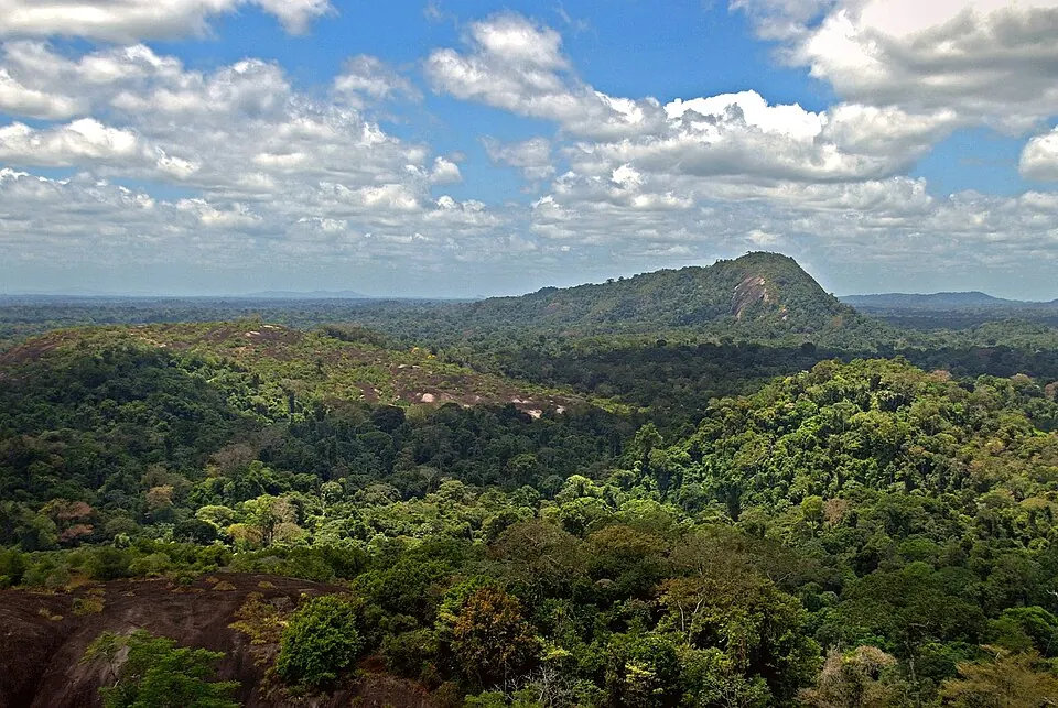
The Central Suriname Nature Reserve is a 16,000 square kilometer tropical forest located in the Sipaliwini District. This protected area is a World Heritage Site and is the second most looked-up sight in Suriname on English Wikipedia.
Planning a visit
The reserve experiences significant rainfall throughout the year. The wettest period occurs from May through July, when rain falls on 29 days each month. During this time, daily temperatures range from lows of 22 °C to highs of 29 °C to 30 °C. The driest months are September and October, which see 13 and 12 rainy days respectively. These months are also the warmest, with daily highs reaching 32 °C to 33 °C and lows of 22 °C to 23 °C.
Accessing the reserve requires travel from the capital city of Paramaribo, which is 255 kilometers away. The nearest airport is Drietabbetje Airport, located 203 kilometers from the reserve. Alternatively, travelers may use Johan Adolf Pengel International Airport, which serves as a hub and is located 217 kilometers away.
Weather by month
The warmest month is October, with an average high of 33 °C. The wettest is May, with about 315 mm of rain.
| Jan | Feb | Mar | Apr | May | Jun | Jul | Aug | Sep | Oct | Nov | Dec | |
|---|---|---|---|---|---|---|---|---|---|---|---|---|
| Average high, °C | 29 | 29 | 30 | 30 | 30 | 29 | 29 | 30 | 32 | 33 | 32 | 30 |
| Average low, °C | 22 | 22 | 22 | 23 | 23 | 22 | 22 | 22 | 23 | 23 | 23 | 23 |
| Rainfall, mm | 172 | 136 | 129 | 213 | 315 | 289 | 258 | 138 | 93 | 59 | 69 | 120 |
| Rainy days | 21 | 18 | 18 | 22 | 29 | 29 | 29 | 21 | 13 | 12 | 19 | 26 |
Temperatures and rainfall: 1981–2010 averages for this spot (4 km grid), from CHELSA. Rainy days: 2015–2024, NASA POWER.