Haiti
Country · Americas, Caribbean
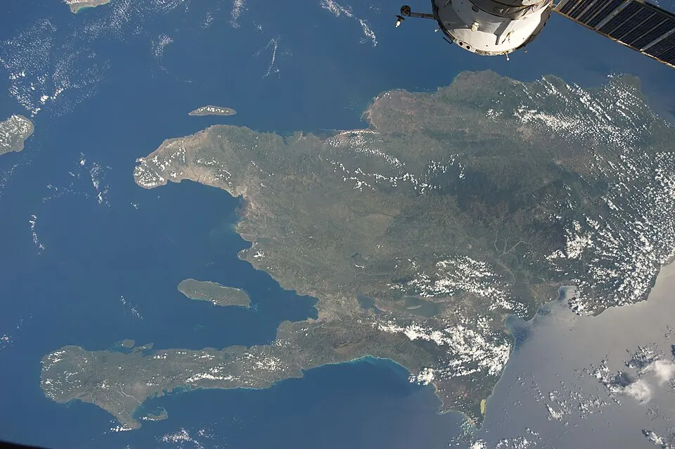
Haiti is a Caribbean country in the Americas with a population of about 12 million and an area of 27,750 square kilometers. Its capital is Port-au-Prince. The country offers visitors historic architecture and cultural landmarks.
Highlights
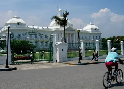
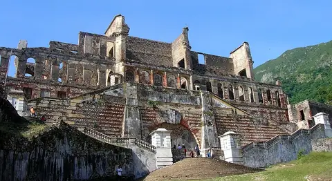
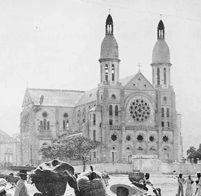
This guide covers 5 sights. In the capital city of Port-au-Prince, travelers can visit the National Palace, the Cathedral of Our Lady of the Assumption, and the Musée du Panthéon National Haïtien. Other notable sights include the Citadelle Laferrière and the Sans-Souci Palace.
Food and drink
Local dishes and beverages include soup joumou, griot, and clairin.
When to go
The climate data reflects the weather at the capital, Port-au-Prince. Daily highs range from 30 °C to 33 °C, and lows range from 22 °C to 25 °C. January and December are the driest months, with rain of 31 mm or less on about 5 to 6 days. September and October experience the highest rainfall, with 148 mm to 161 mm over about 18 days.
Practical notes
The currency is the gourde. Official languages are French and Haitian Creole. Plugs A and B are used with a voltage of 110 V. Driving is on the right side of the road. The time zone is UTC−05:00.
Cities
Food and drink to try in Haiti
- Soup joumou
- Griot
- Clairin
Top sights in Haiti


Weather by month
The warmest month is July, with an average high of 33 °C. The wettest is October, with about 161 mm of rain.
| Jan | Feb | Mar | Apr | May | Jun | Jul | Aug | Sep | Oct | Nov | Dec | |
|---|---|---|---|---|---|---|---|---|---|---|---|---|
| Average high, °C | 30 | 31 | 31 | 31 | 31 | 32 | 33 | 33 | 32 | 31 | 30 | 30 |
| Average low, °C | 22 | 22 | 23 | 23 | 24 | 25 | 25 | 25 | 25 | 24 | 23 | 22 |
| Rainfall, mm | 24 | 53 | 71 | 132 | 157 | 115 | 88 | 133 | 148 | 161 | 97 | 31 |
| Rainy days | 5 | 5 | 7 | 8 | 13 | 13 | 10 | 14 | 18 | 18 | 13 | 7 |
Temperatures and rainfall: 1981–2010 averages for Port-au-Prince (4 km grid), from CHELSA. Rainy days: 2015–2024, NASA POWER.