Turks and Caicos Islands
Territory · Americas, Caribbean
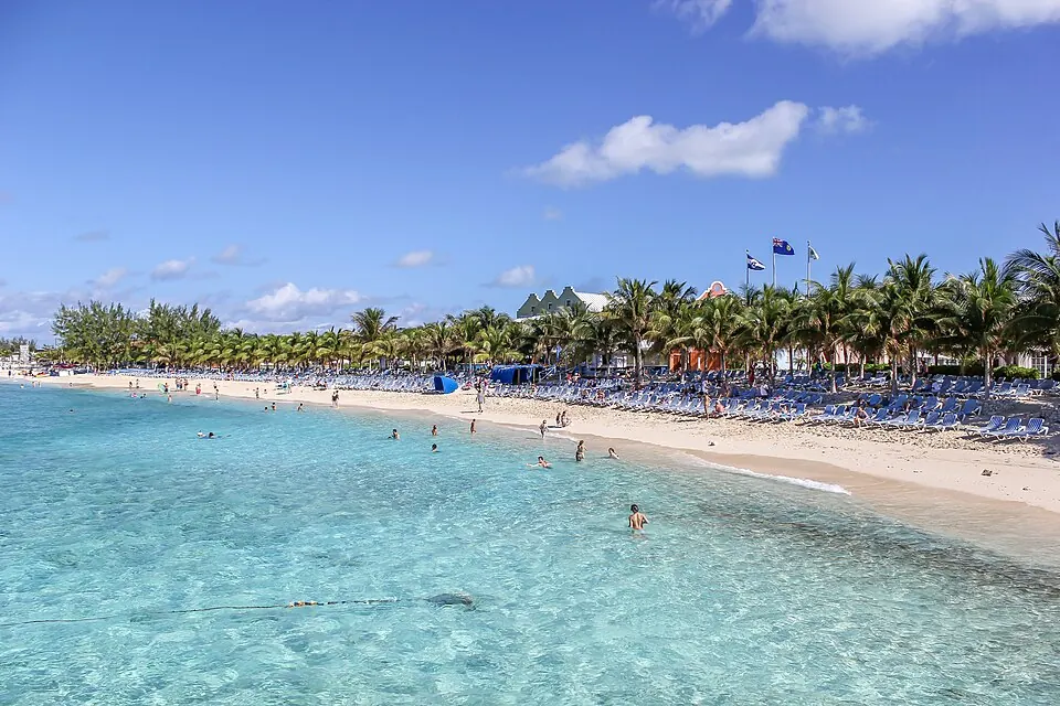
Turks and Caicos Islands is a territory located in the Caribbean region of the Americas, with neighbours including the Dominican Republic, Haiti, and The Bahamas. Its capital is Cockburn Town, and the territory covers an area of 417 square kilometres with a population of about 47,000 in 2025. It offers visitors a Caribbean destination with the highest point at Blue Hills.
When to go
The climate at the capital, Cockburn Town, features average temperatures ranging from 24 °C in January, February, and March to 28 °C in August and September. Rainfall varies throughout the year, with the lowest rain in February at 49 mm on about 7 days and the highest in October at 173 mm on about 17 days. May and September also see higher rainfall with 14 rainy days each, while April and February have the fewest rainy days at about 6 and 7 respectively.
Practical notes
The official language is English, and the currency is the United States dollar (USD). The territory operates on UTC−05:00 time and uses the .tc top-level domain. Driving is on the left side of the road. Electrical systems use plugs A and B with a voltage of 120.0 V, and the international calling code is +1649.
Weather by month
The warmest month is August, averaging 28 °C. The wettest is October, with about 173 mm of rain.
| Jan | Feb | Mar | Apr | May | Jun | Jul | Aug | Sep | Oct | Nov | Dec | |
|---|---|---|---|---|---|---|---|---|---|---|---|---|
| Average temperature, °C | 24 | 24 | 24 | 25 | 26 | 27 | 27 | 28 | 28 | 27 | 26 | 25 |
| Rainfall, mm | 84 | 49 | 61 | 74 | 113 | 81 | 89 | 95 | 150 | 173 | 161 | 97 |
| Rainy days | 9 | 7 | 7 | 7 | 14 | 12 | 11 | 11 | 14 | 17 | 15 | 10 |
Temperatures and rainfall: 1981–2010 averages for Cockburn Town (4 km grid), from CHELSA. Rainy days: 2015–2024, NASA POWER.