Þingvellir
Iceland UNESCO World Heritage Site
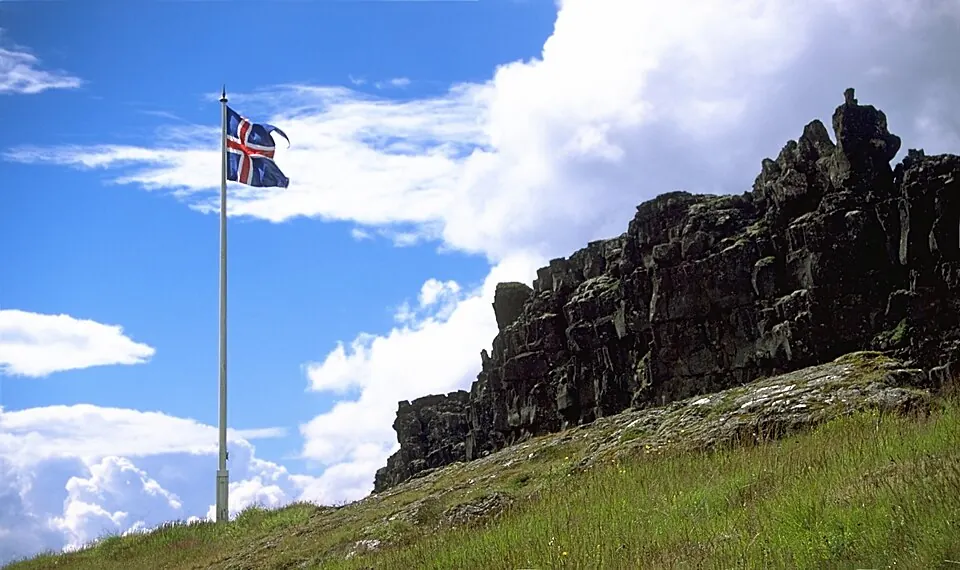
Þingvellir is a national park in Iceland that encompasses a unique graben and escarpment. As a UNESCO World Heritage Site, it stands as one of the most looked-up sights in the country on English Wikipedia.
Planning a visit
The best time to visit Þingvellir is during the summer months of June, July, and August. During this period, daily temperatures reach highs of 13 °C to 14 °C, and the area experiences its lowest frequency of precipitation, with about 15 to 16 rainy days per month. In contrast, the winter months from November through March are consistently cold, with daily highs often at or below freezing and lows dropping to -7 °C. These months also see frequent rain, with roughly 16 to 20 rainy days each month, which may affect travel plans within the 228 km² park.
Þingvellir is located 41 km from the capital, Reykjavík. Travelers arriving by air can use Reykjavík Domestic Airport, situated 42 km away, or Keflavik International Airport, which is 78 km from the park. As part of the Golden Circle, the site is often visited alongside Geysir, located 40.3 km away. Other accessible sights nearby include the Imagine Peace Tower at 37.1 km, and several locations in Reykjavík such as Harpa, Hallgrímskirkja, and the Icelandic Phallological Museum, all approximately 41 km from the park. Wheelchair access at the site is limited.
Weather by month
The warmest month is July, with an average high of 14 °C. Rain is spread fairly evenly through the year.
| Jan | Feb | Mar | Apr | May | Jun | Jul | Aug | Sep | Oct | Nov | Dec | |
|---|---|---|---|---|---|---|---|---|---|---|---|---|
| Average high, °C | -1 | -1 | 1 | 3 | 8 | 13 | 14 | 13 | 10 | 4 | 1 | -1 |
| Average low, °C | -7 | -6 | -5 | -3 | 1 | 6 | 8 | 7 | 4 | -1 | -4 | -6 |
| Rainfall, mm | 161 | 164 | 147 | 118 | 97 | 90 | 99 | 129 | 145 | 150 | 142 | 165 |
| Rainy days | 20 | 19 | 19 | 17 | 18 | 17 | 15 | 15 | 19 | 19 | 16 | 18 |
Temperatures and rainfall: 1981–2010 averages for this spot (4 km grid), from CHELSA. Rainy days: 2015–2024, NASA POWER.