Vatnajökull National Park Vatnajökulsþjóðgarður
Iceland UNESCO World Heritage Site
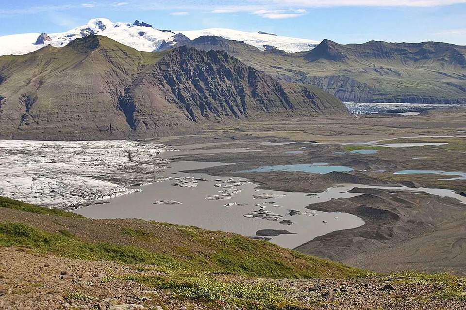
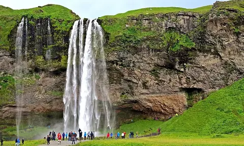
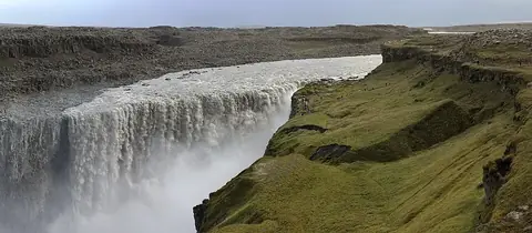
Vatnajökull National Park is a UNESCO World Heritage Site located across the Eastern, Northeastern, and Southern Regions of Iceland. Established in 2008, the park covers an area of 14,820 km2. It is one of the 14 most looked-up sights in Iceland on English Wikipedia.
Planning a visit
The climate varies throughout the year. July is the warmest month, with average daily highs of 1 °C and lows of -2 °C. In contrast, the winter months of January, February, and March see average daily highs of -9 °C. Temperatures increase in the spring, with May seeing average daily highs of -4 °C and June seeing -1 °C. June is also the driest month, with about 134 mm of rain. The wettest months are December and October, which see about 296 mm and 293 mm of rain. In December, rain falls on about 26 days, while in October, it falls on about 28 days.
The park is located 241 km from Reykjavík. For air travel, the nearest airport is Hornafjörður Airport in Höfn, which is 88 km away. Akureyri International Airport is a hub located 138 km from the park.
Weather by month
The warmest month is July, with an average high of 1 °C. Rain is spread fairly evenly through the year.
| Jan | Feb | Mar | Apr | May | Jun | Jul | Aug | Sep | Oct | Nov | Dec | |
|---|---|---|---|---|---|---|---|---|---|---|---|---|
| Average high, °C | -9 | -9 | -9 | -7 | -3 | -1 | 1 | 0 | -2 | -5 | -7 | -8 |
| Average low, °C | -13 | -14 | -14 | -11 | -7 | -4 | -2 | -2 | -5 | -9 | -11 | -13 |
| Rainfall, mm | 288 | 247 | 236 | 182 | 147 | 134 | 153 | 205 | 264 | 293 | 254 | 296 |
| Rainy days | 28 | 26 | 28 | 23 | 23 | 23 | 24 | 24 | 25 | 28 | 27 | 27 |
Temperatures and rainfall: 1981–2010 averages for this spot (4 km grid), from CHELSA. Rainy days: 2015–2024, NASA POWER.