Incense Route – Desert Cities in the Negev
Israel UNESCO World Heritage Site
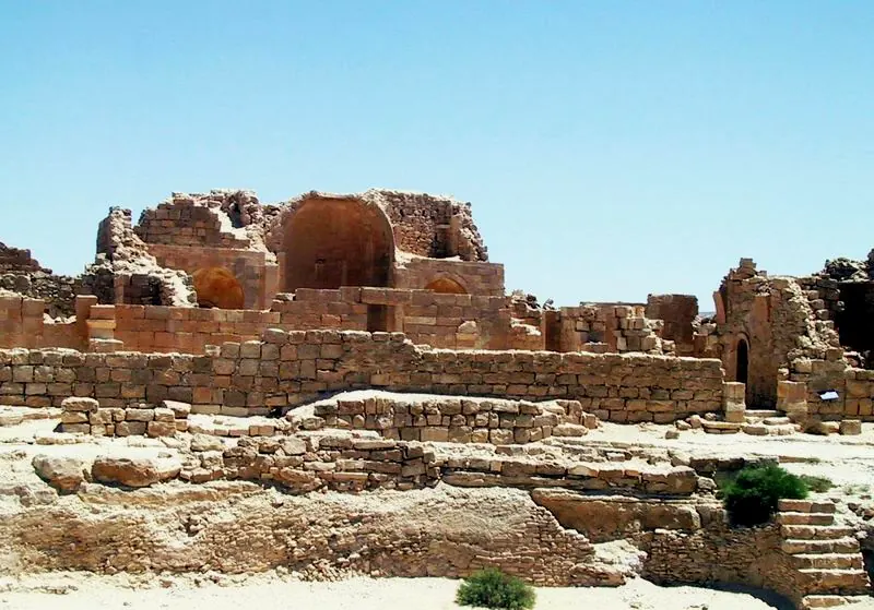
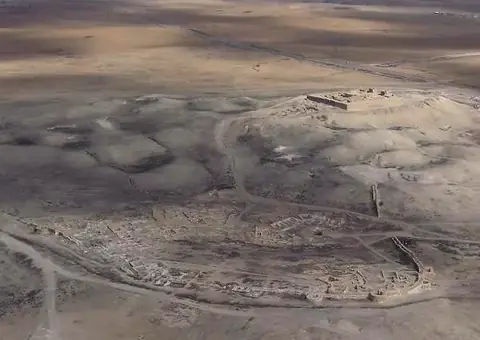
The Incense Route – Desert Cities in the Negev is a World Heritage Site itinerary covering 67 km2 in Israel. It is one of the 40 sights listed on this site and is the 28th most looked-up sight in the country on English Wikipedia.
Planning a visit
The weather is warmest from June to August, when daily highs reach about 33 °C. The driest months are May through September, with little to no rain. Cooler temperatures and more rain occur from November to March, with January seeing the most rain at about 40 mm over 8 days.
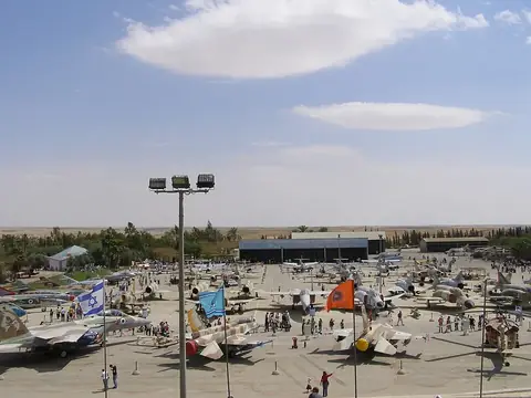
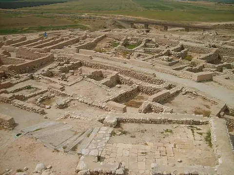
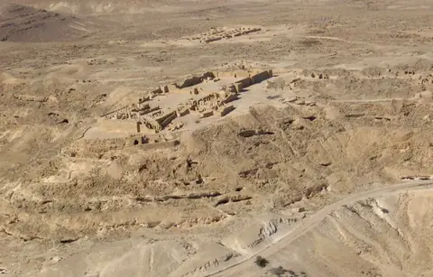
The site is located 93 km from Jerusalem. The nearest airport is El Arish International Airport in Egypt, which is 79 km away. Visitors can combine this itinerary with other nearby locations such as the Israeli Air Force Museum, Abraham's Well, Tel Be'er Sheva, Avdat, or Tel Arad.
Weather by month
The warmest month is July, with an average high of 33 °C. Rain is spread fairly evenly through the year.
| Jan | Feb | Mar | Apr | May | Jun | Jul | Aug | Sep | Oct | Nov | Dec | |
|---|---|---|---|---|---|---|---|---|---|---|---|---|
| Average high, °C | 16 | 17 | 21 | 26 | 29 | 32 | 33 | 33 | 31 | 28 | 23 | 18 |
| Average low, °C | 7 | 8 | 9 | 12 | 15 | 18 | 20 | 21 | 19 | 17 | 13 | 9 |
| Rainfall, mm | 40 | 31 | 23 | 7 | 2 | 0 | 1 | 1 | 1 | 7 | 17 | 28 |
| Rainy days | 8 | 6 | 4 | 2 | 0 | 0 | 0 | 0 | 0 | 2 | 4 | 6 |
Temperatures and rainfall: 1981–2010 averages for this spot (4 km grid), from CHELSA. Rainy days: 2015–2024, NASA POWER.