Masada
Israel UNESCO World Heritage Site
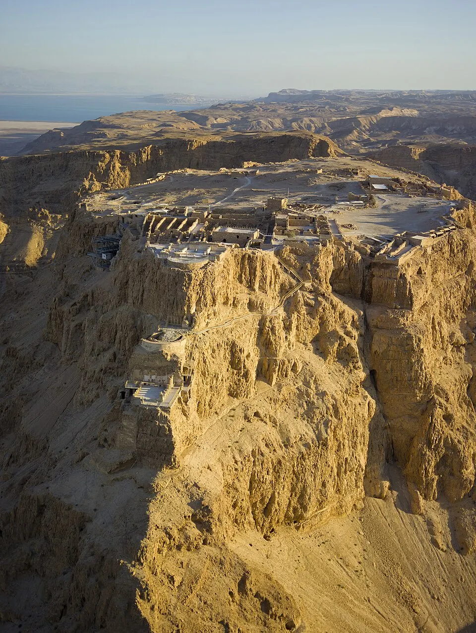
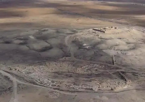
Masada is an archaeological site, fortress, and World Heritage Site located in Tamar Regional Council, Israel. It is one of the most looked-up sights in the country, ranking 5th among the country's sights on English Wikipedia. Spanning 2.76 square kilometers, the site offers visitors a chance to explore a significant historic fortress.
Planning a visit
Temperatures vary throughout the year, with July and August reaching high temperatures of 37 °C and lows of 25 °C, while January and February see highs of 18 °C to 19 °C and lows of 11 °C. Rain is most common in January with 62 mm over about 8 days, whereas June, July, August, and September experience no rain. The site is open daily from October to March between 08:00 and 16:00, and from April to September between 08:00 and 17:00. Admission is ₪28, which does not include the light show.
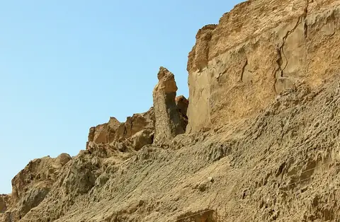
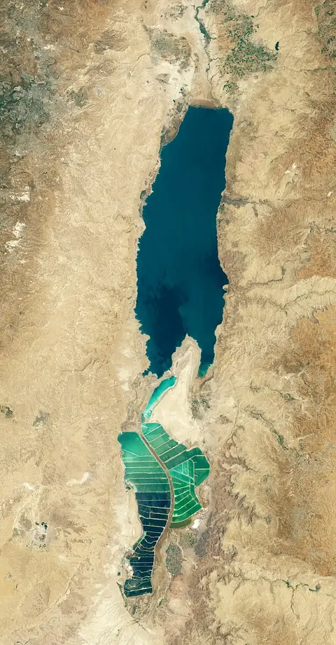
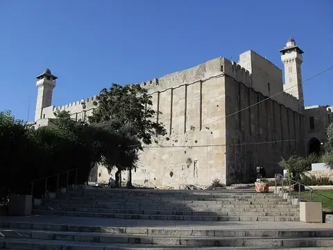
The nearest airport is Queen Alia International Airport in Amman, Jordan, located 76 km away, and the site is 53 km from Jerusalem. Nearby places you can combine with your trip include Tel Arad at 22.1 km, Mount Sodom at 25.0 km, the Dead Sea at 26.0 km, the Cave of the Patriarchs at 32.8 km, and the Old City of Hebron at 33.0 km.
Weather by month
The warmest month is July, with an average high of 37 °C. The wettest is January, with about 62 mm of rain.
| Jan | Feb | Mar | Apr | May | Jun | Jul | Aug | Sep | Oct | Nov | Dec | |
|---|---|---|---|---|---|---|---|---|---|---|---|---|
| Average high, °C | 18 | 19 | 23 | 28 | 33 | 36 | 37 | 37 | 35 | 31 | 24 | 19 |
| Average low, °C | 11 | 11 | 13 | 17 | 20 | 23 | 25 | 25 | 24 | 21 | 17 | 13 |
| Rainfall, mm | 62 | 61 | 40 | 11 | 4 | 0 | 0 | 0 | 0 | 8 | 25 | 45 |
| Rainy days | 8 | 7 | 4 | 2 | 1 | 0 | 0 | 0 | 0 | 1 | 4 | 6 |
Temperatures and rainfall: 1981–2010 averages for this spot (4 km grid), from CHELSA. Rainy days: 2015–2024, NASA POWER.