Mount Tabor
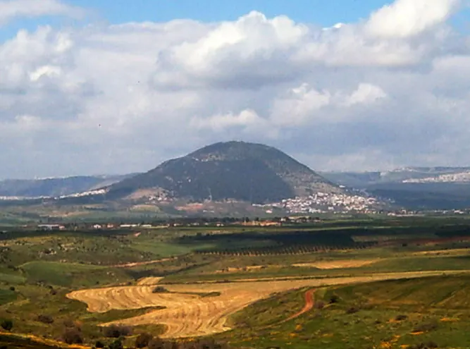
Mount Tabor is an inselberg and mountain located in the Lower Galilee region of Israel. It reaches an elevation of 530 meters and is one of the most looked-up sights in the country according to English Wikipedia.
Planning a visit
The mountain experiences hot, dry summers and cooler, rainy winters. Temperatures peak at 34 °C from July to August, while January and February are the coldest months with highs of 16 °C and lows of 6 °C. Rainfall is heaviest between December and January, making the mild spring months of April and May, with temperatures between 24 °C and 29 °C, suitable for outdoor activities.
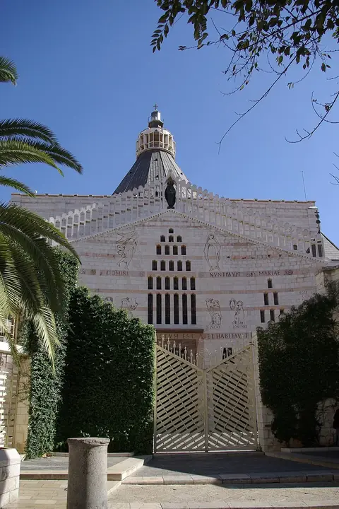
Visitors can reach the area via Uri Michaeli Haifa International Airport, which is 35 kilometers away, or Ben Gurion International Airport in Tel Aviv, located 89 kilometers away. Mount Tabor is 102 kilometers from Jerusalem. Nearby sites in Nazareth include Mary's Well, the Greek Orthodox Church of the Annunciation, and the Basilica of the Annunciation, all within 10 kilometers. Sepphoris and the Horns of Hattin are also within 15 kilometers.
Weather by month
The warmest month is August, with an average high of 34 °C. The wettest is January, with about 152 mm of rain.
| Jan | Feb | Mar | Apr | May | Jun | Jul | Aug | Sep | Oct | Nov | Dec | |
|---|---|---|---|---|---|---|---|---|---|---|---|---|
| Average high, °C | 16 | 16 | 20 | 25 | 29 | 32 | 34 | 34 | 32 | 29 | 22 | 17 |
| Average low, °C | 6 | 6 | 9 | 12 | 15 | 19 | 21 | 22 | 21 | 17 | 12 | 8 |
| Rainfall, mm | 152 | 127 | 76 | 25 | 7 | 1 | 1 | 1 | 2 | 24 | 80 | 118 |
| Rainy days | 12 | 9 | 7 | 4 | 1 | 0 | 0 | 0 | 0 | 2 | 5 | 9 |
Temperatures and rainfall: 1981–2010 averages for this spot (4 km grid), from CHELSA. Rainy days: 2015–2024, NASA POWER.