Cyrene
Shahhat, Libya UNESCO World Heritage Site
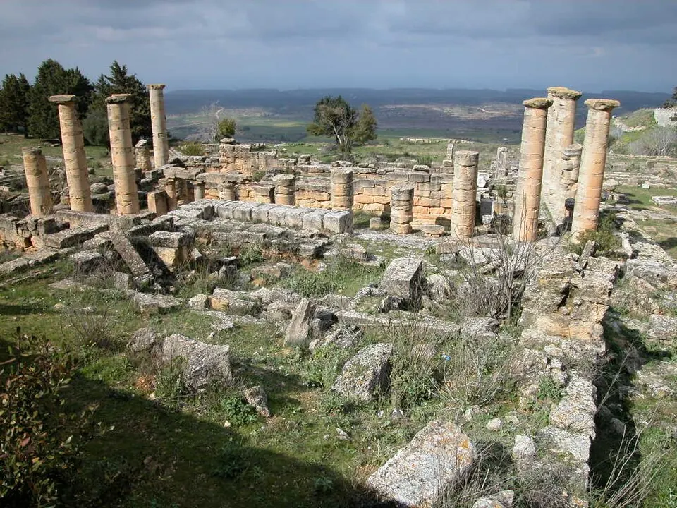
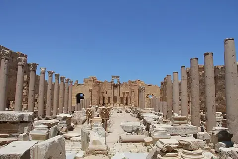
Cyrene is a Greek colony, archaeological site, and municipality of Libya located in Shahhat within the Jabal al Akhdar administrative region and the Jebel Akhdar mountain range. Incepted in -630, it is a World Heritage Site and ranks as the most looked-up sight in Libya on English Wikipedia among the country's 8 sights on this site.
Planning a visit
The site experiences hot, dry summers from June to August with daily highs of 27 °C and lows of 18 °C, accompanied by practically no rain. Winters are cooler and wetter, with January recording highs of 13 °C, lows of 7 °C, and 131 mm of rain across about 10 days.
Cyrene is located 810 km from Tripoli. The nearest airport is Al Abraq International Airport in Al Albraq, situated 10 km away.
Weather by month
The warmest month is August, with an average high of 27 °C. The wettest is January, with about 131 mm of rain.
| Jan | Feb | Mar | Apr | May | Jun | Jul | Aug | Sep | Oct | Nov | Dec | |
|---|---|---|---|---|---|---|---|---|---|---|---|---|
| Average high, °C | 13 | 13 | 16 | 19 | 23 | 26 | 27 | 27 | 26 | 23 | 18 | 14 |
| Average low, °C | 7 | 7 | 8 | 10 | 13 | 16 | 18 | 19 | 17 | 15 | 12 | 9 |
| Rainfall, mm | 131 | 91 | 71 | 21 | 10 | 1 | 1 | 1 | 8 | 37 | 80 | 121 |
| Rainy days | 10 | 6 | 4 | 2 | 2 | 1 | 0 | 0 | 3 | 3 | 4 | 10 |
Temperatures and rainfall: 1981–2010 averages for this spot (4 km grid), from CHELSA. Rainy days: 2015–2024, NASA POWER.