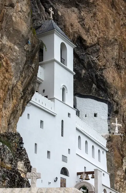
Fortifications of Kotor
Kotor, Montenegro UNESCO World Heritage Site

The Fortifications of Kotor comprise a historic building and monument complex located in Kotor, Montenegro. This site is part of the UNESCO World Heritage listed Natural and Culturo-Historical Region of Kotor and the Venetian Works of defence between the 15th and 17th centuries. It ranks as the fourth most looked-up sight in Montenegro on English Wikipedia, making it one of the most prominent landmarks in the country.
Planning a visit
The driest months to visit are July and August, which experience the fewest rainy days and daily highs of 24 °C. June and September offer milder temperatures, while the winter months from November to January are significantly wetter, often receiving over 400 mm of rain. These figures suggest that planning for the summer or early autumn months provides the most favorable conditions for exploring the fortifications.
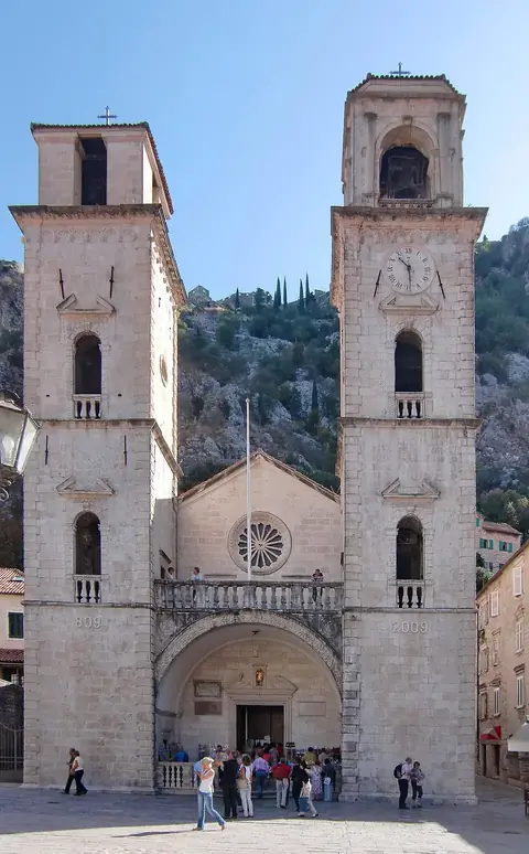
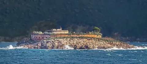
Tivat Airport is the nearest arrival point at 5 km away, while Podgorica Airport is 40 km from the site, which is also 40 km from the capital, Podgorica. You can combine a trip here with visits to the nearby Kotor Cathedral, located only 0.1 km away, or the Mausoleum of Njegoš at 6.1 km. Other accessible sites include the islands of Sveti Đorđe and Our Lady of the Rocks, both within 10 km, and Mamula, situated 17.8 km away.
Weather by month
The warmest month is August, with an average high of 24 °C. The wettest is December, with about 451 mm of rain.
| Jan | Feb | Mar | Apr | May | Jun | Jul | Aug | Sep | Oct | Nov | Dec | |
|---|---|---|---|---|---|---|---|---|---|---|---|---|
| Average high, °C | 6 | 7 | 9 | 13 | 18 | 21 | 24 | 24 | 20 | 16 | 11 | 7 |
| Average low, °C | 1 | 1 | 3 | 6 | 11 | 14 | 17 | 18 | 14 | 10 | 6 | 2 |
| Rainfall, mm | 316 | 291 | 287 | 260 | 174 | 127 | 76 | 129 | 238 | 342 | 427 | 451 |
| Rainy days | 13 | 11 | 12 | 9 | 12 | 9 | 6 | 8 | 10 | 10 | 14 | 13 |
Temperatures and rainfall: 1981–2010 averages for this spot (4 km grid), from CHELSA. Rainy days: 2015–2024, NASA POWER.