Montenegro
Country · Europe, Southern Europe
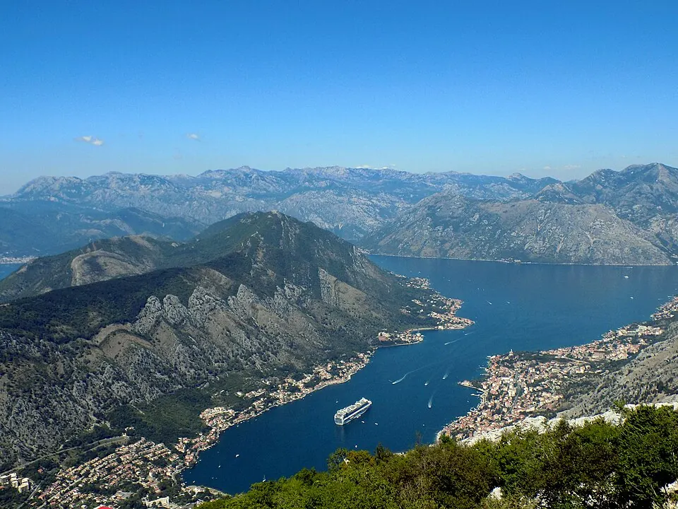
Montenegro is a country in Southern Europe with a population of about 623,000 and an area of 13,883 square kilometres. Its capital is Podgorica, and it offers travellers 13 top sights including monasteries, canyons, and coastal fortifications.
Highlights
The country features 13 top sights across cities like Kotor, Podgorica, Herceg Novi, and Perast. Notable locations include the Ostrog Monastery, Our Lady of the Rocks, the UNESCO-listed Tara River Canyon, the Fortifications of Kotor, the Mausoleum of Njegoš, Kotor Cathedral, Mamula, Sveti Đorđe Island, the Cathedral of the Resurrection of Christ in Podgorica, Doclea, the Millennium Bridge, and Kanli Kula.
Food and drink
Local culinary offerings include Njeguški pršut.
When to go
The climate at the capital, Podgorica, shows variation across the year. July and August are the warmest months with daily highs of 30 °C and lows of 20 °C, alongside lower rainfall of 36 mm to 68 mm. Winter months such as November and December are cooler, with daily highs of 10 °C to 14 °C, lows of 3 °C to 7 °C, and heavy rainfall exceeding 300 mm.
Practical notes
The currency is the euro (EUR). The official language is Montenegrin. Plugs used are type C and F with a voltage of 230.0 V. Driving is on the right side of the road. The time zone is UTC+01:00.
Cities
Food and drink to try in Montenegro
- Njeguški pršut
Top sights in Montenegro
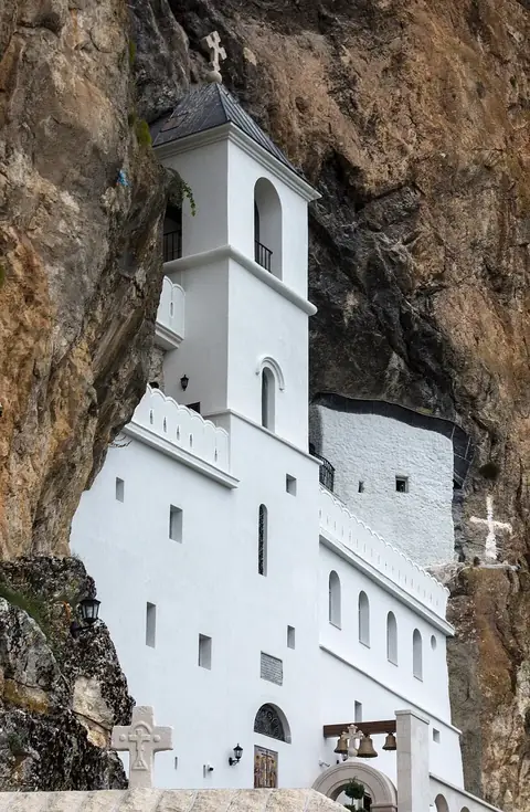 Ostrog MonasteryNikšić
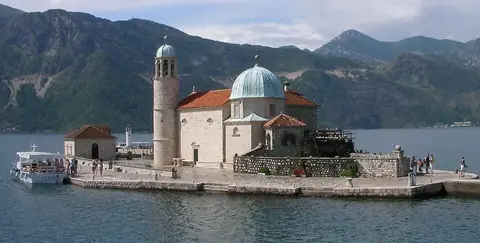 Our Lady of the RocksPerast
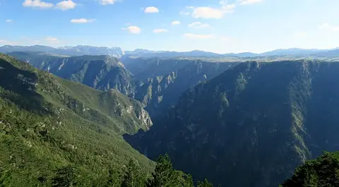 UNESCOTara River Canyon
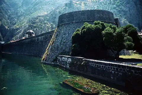 UNESCOFortifications of KotorKotor
- Mausoleum of NjegošKotor
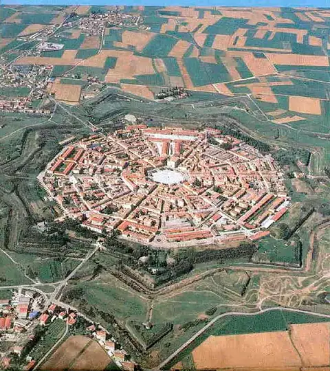 UNESCOVenetian Works of Defence between the 16th and 17th centuries: Stato da Terra – Western Stato da Mar
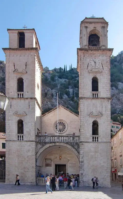 Kotor CathedralKotor
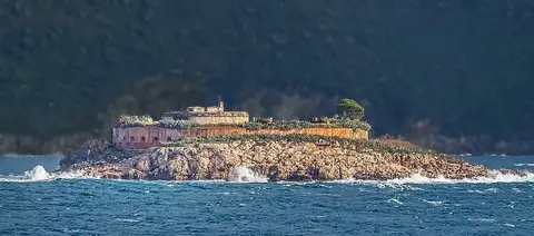 MamulaHerceg Novi
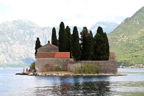 Sveti Đorđe IslandPerast
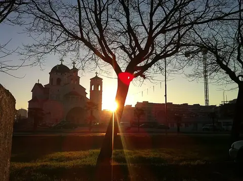 Cathedral of the Resurrection of Christ, PodgoricaPodgorica
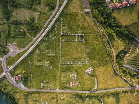 DocleaPodgorica
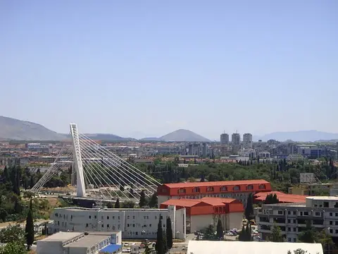 Millennium BridgePodgorica
- Kanli Kula · Herceg Novi
Weather by month
The warmest month is July, with an average high of 30 °C. The wettest is November, with about 307 mm of rain.
| Jan | Feb | Mar | Apr | May | Jun | Jul | Aug | Sep | Oct | Nov | Dec | |
|---|---|---|---|---|---|---|---|---|---|---|---|---|
| Average high, °C | 9 | 10 | 14 | 18 | 23 | 26 | 30 | 30 | 25 | 20 | 14 | 10 |
| Average low, °C | 1 | 2 | 6 | 9 | 14 | 18 | 20 | 20 | 16 | 12 | 7 | 3 |
| Rainfall, mm | 206 | 197 | 189 | 170 | 100 | 75 | 36 | 68 | 188 | 246 | 307 | 302 |
| Rainy days | 13 | 11 | 12 | 9 | 13 | 11 | 7 | 9 | 10 | 10 | 13 | 13 |
Temperatures and rainfall: 1981–2010 averages for Podgorica (4 km grid), from CHELSA. Rainy days: 2015–2024, NASA POWER.
Also worth a look
- Biogradska Gora
- Cetinje Monastery
- Church of Our Lady of Remedy
- Church of St. Jovan Vladimir, Bar
- Church of St. Nicholas, Kotor
- Island of Flowers
- Natural and Culturo-Historical Region of Kotor
- Podgorica Royal Palace
- Savina Monastery
- Stara Maslina
- Stara Varoš, Podgorica