Kala Patthar
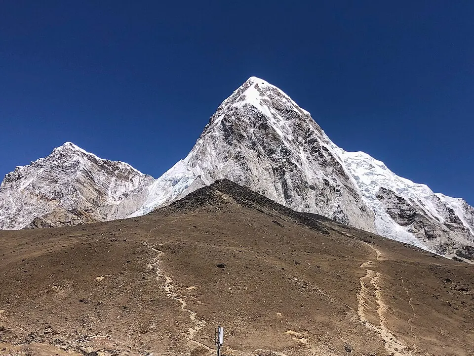
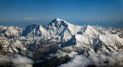
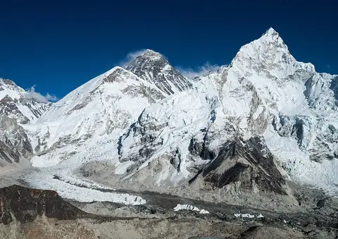
Kala Patthar is a mountain located in Khumbu Pasanglhamu, Nepal, part of the Mahalangur Himal and the Himalayas. Reaching an elevation of 5645 m, it is one of the most looked-up sights in the country, ranking 8 among the country's sights on English Wikipedia.
Planning a visit
The mountain experiences sub-zero daily highs and lows throughout the year. May through September brings the highest levels of rain, with July and August recording up to 529 mm and 520 mm of rain respectively over about 28 days. November sees the fewest rainy days at about 0 days with 10 mm of rain, while January and February record daily highs of -11 °C and lows of -22 °C.
The nearest airport is Tenzing-Hillary Airport in Lukla, situated 36 km away, while Tribhuvan International Airport in Kathmandu is 148 km away. The capital, Kathmandu, is 152 km away. Nearby points of interest include Mount Everest at 9.5 km and Sagarmatha National Park at 17.7 km.
Weather by month
The warmest month is August, with an average high of 5 °C. The wettest is July, with about 529 mm of rain.
| Jan | Feb | Mar | Apr | May | Jun | Jul | Aug | Sep | Oct | Nov | Dec | |
|---|---|---|---|---|---|---|---|---|---|---|---|---|
| Average high, °C | -11 | -11 | -8 | -4 | 1 | 5 | 5 | 5 | 3 | -1 | -5 | -8 |
| Average low, °C | -21 | -22 | -18 | -14 | -8 | -3 | -1 | -1 | -4 | -10 | -15 | -18 |
| Rainfall, mm | 27 | 39 | 44 | 62 | 110 | 292 | 529 | 520 | 288 | 54 | 10 | 13 |
| Rainy days | 1 | 2 | 7 | 12 | 18 | 22 | 28 | 28 | 21 | 6 | 0 | 1 |
Temperatures and rainfall: 1981–2010 averages for this spot (4 km grid), from CHELSA. Rainy days: 2015–2024, NASA POWER.