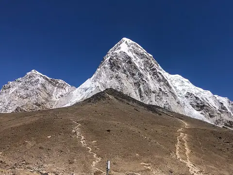
Kathmandu Valley
Kathmandu, Nepal UNESCO World Heritage Site
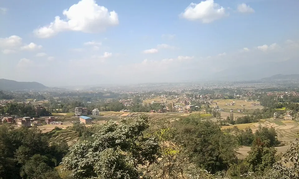
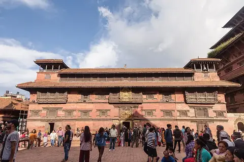
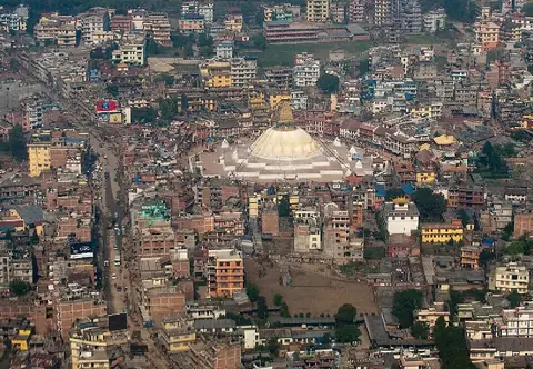
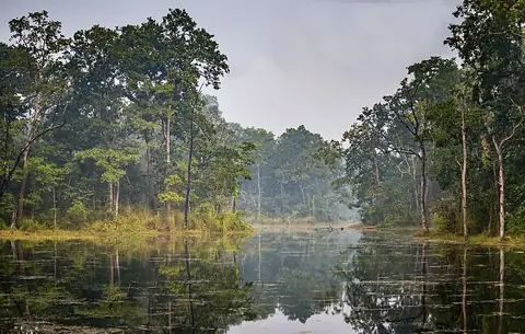
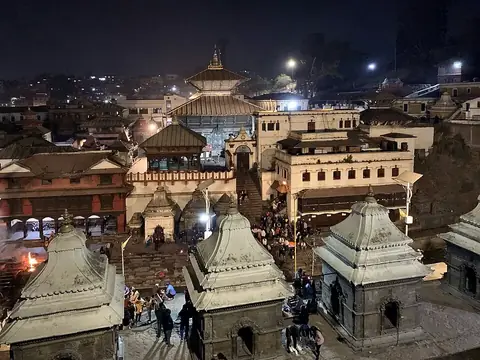
Kathmandu Valley is a valley and a UNESCO World Heritage Site located in Bagmati Province, Nepal, within the Himalayas. It is named after Kathmandu and covers an area of 1.674 square kilometers. It is one of the sights of the country on this site.
Planning a visit
The months from October to April bring lower rainfall and moderate temperatures ranging from highs of 16 °C in January to 25 °C in April, making them suitable for a visit. The peak rainfall occurs from June to September, with July seeing up to 450 mm of rain over about 29 days.
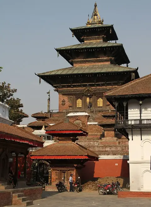
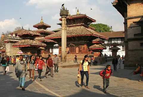
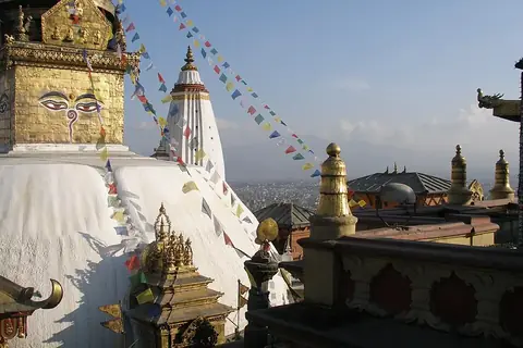
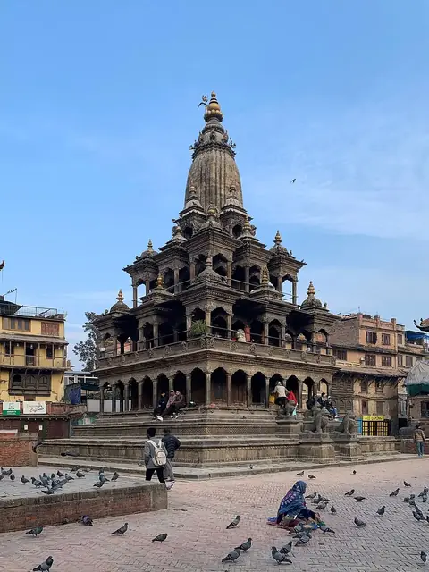
Tribhuvan International Airport is the nearest airport, located 5 km away in Kathmandu. The valley is 1 km from the capital of Kathmandu. Nearby places to visit include Taleju Temple, Kathmandu at 0.1 km, Kathmandu Durbar Square at 0.1 km, Swayambhunath at 2.2 km, Krishna Mandir, Patan at 3.7 km, and Patan Museum at 3.8 km.
Weather by month
The warmest month is June, with an average high of 26 °C. The wettest is July, with about 450 mm of rain.
| Jan | Feb | Mar | Apr | May | Jun | Jul | Aug | Sep | Oct | Nov | Dec | |
|---|---|---|---|---|---|---|---|---|---|---|---|---|
| Average high, °C | 16 | 18 | 22 | 25 | 26 | 26 | 25 | 26 | 25 | 23 | 20 | 17 |
| Average low, °C | 6 | 7 | 10 | 13 | 16 | 19 | 20 | 20 | 19 | 15 | 11 | 8 |
| Rainfall, mm | 19 | 24 | 32 | 52 | 122 | 234 | 450 | 411 | 265 | 56 | 8 | 11 |
| Rainy days | 2 | 2 | 7 | 11 | 20 | 24 | 29 | 27 | 22 | 9 | 0 | 1 |
Temperatures and rainfall: 1981–2010 averages for this spot (4 km grid), from CHELSA. Rainy days: 2015–2024, NASA POWER.