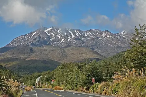
Aoraki / Mount Cook Mount Cook
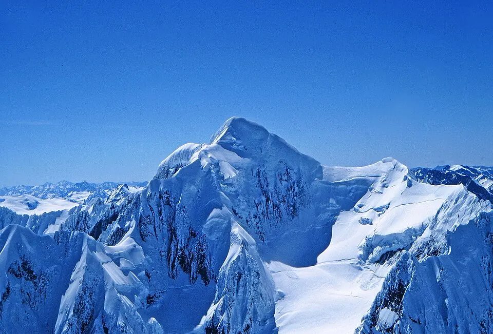
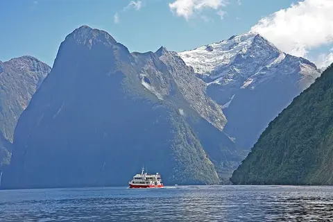
Aoraki / Mount Cook is a mountain, parent peak, and hill located in the Canterbury Region and Mackenzie District of New Zealand. Part of the Southern Alps / Kā Tiritiri o te Moana, it reaches an elevation of 3724 meters and is named after James Cook. It is one of the most looked-up sights in New Zealand.
Planning a visit
The warmest months are January and February with daily highs of 4 °C and lows of -4 °C, while July is the coldest month with daily highs of -9 °C and lows of -15 °C. Monthly precipitation ranges from 548 mm in July to 918 mm in December, with rainy days occurring between 14 and 19 days per month across the year.
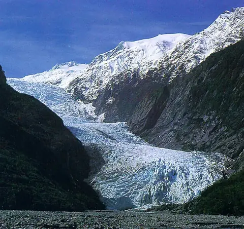
The nearest airport is Timaru Airport, located 117 km away, while Christchurch International Airport is 193 km away. The distance from the capital, Wellington, is 459 km. Nearby sights include Franz Josef Glacier, which is 14.1 km away.
Weather by month
The warmest month is February, with an average high of 5 °C. Rain is spread fairly evenly through the year.
| Jan | Feb | Mar | Apr | May | Jun | Jul | Aug | Sep | Oct | Nov | Dec | |
|---|---|---|---|---|---|---|---|---|---|---|---|---|
| Average high, °C | 4 | 5 | 3 | 0 | -4 | -8 | -9 | -8 | -6 | -4 | -1 | 2 |
| Average low, °C | -4 | -3 | -5 | -8 | -11 | -14 | -15 | -14 | -12 | -11 | -8 | -6 |
| Rainfall, mm | 794 | 615 | 790 | 695 | 713 | 645 | 548 | 641 | 745 | 852 | 787 | 918 |
| Rainy days | 16 | 14 | 16 | 16 | 18 | 16 | 18 | 19 | 17 | 19 | 17 | 18 |
Temperatures and rainfall: 1981–2010 averages for this spot (4 km grid), from CHELSA. Rainy days: 2015–2024, NASA POWER.