Mount Ruapehu
Raetihi, New Zealand
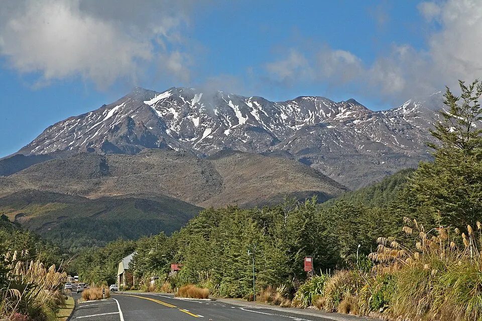
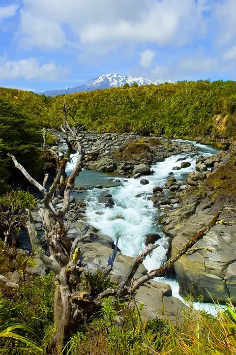
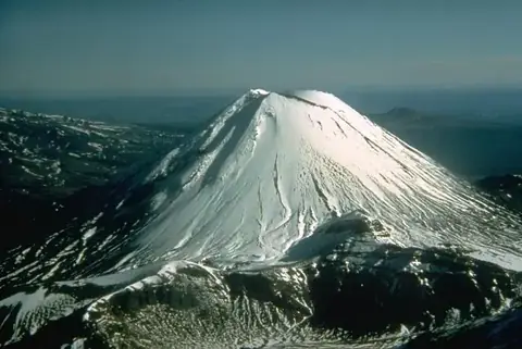
Mount Ruapehu is a volcano located in New Zealand within the Ruapehu District and Taupō District on the North Island Volcanic Plateau. Rising to an elevation of 2797 meters, it ranks as one of the most looked-up sights in New Zealand. Raetihi serves as its city location.
Planning a visit
January and February offer the highest daily highs of 9 °C with lows of 1 °C, while July is the coldest month with daily highs of -2 °C and lows of -7 °C. Rain falls throughout the year, with July, August, and September experiencing about 16 rainy days each. The nearest airport is Taupo Airport, located 75 km away, while Wellington International Airport is 236 km away. The capital Wellington is 233 km away.
Nearby sights include Tongariro National Park at a distance of 9.2 km and Mount Ngauruhoe at 14.9 km.
Weather by month
The warmest month is February, with an average high of 9 °C. Rain is spread fairly evenly through the year.
| Jan | Feb | Mar | Apr | May | Jun | Jul | Aug | Sep | Oct | Nov | Dec | |
|---|---|---|---|---|---|---|---|---|---|---|---|---|
| Average high, °C | 9 | 9 | 7 | 5 | 2 | -1 | -1 | -1 | 1 | 3 | 5 | 7 |
| Average low, °C | 1 | 1 | -1 | -2 | -4 | -6 | -7 | -7 | -6 | -5 | -3 | -1 |
| Rainfall, mm | 241 | 214 | 236 | 242 | 296 | 369 | 350 | 330 | 367 | 350 | 290 | 344 |
| Rainy days | 10 | 9 | 11 | 12 | 14 | 15 | 16 | 16 | 16 | 13 | 15 | 13 |
Temperatures and rainfall: 1981–2010 averages for this spot (4 km grid), from CHELSA. Rainy days: 2015–2024, NASA POWER.