Kaesong Industrial Region 개성공업지구
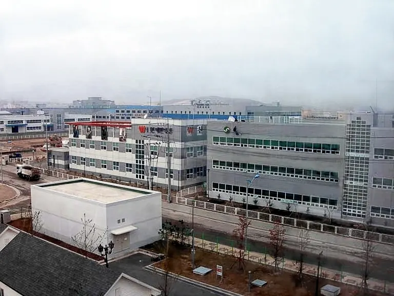
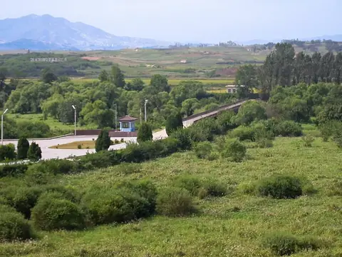
The Kaesong Industrial Region is an administrative territorial entity and free economic zone covering 66 square kilometers in North Korea. Established in 2004, it is one of the most looked-up sights in the country on English Wikipedia.
Planning a visit
The region experiences cold winters with temperatures dropping to -10 °C in January and hot, wet summers with highs of 28 °C and significant rainfall in July and August. Spring and autumn offer milder temperatures, with highs ranging from 9 °C in March to 24 °C in September, making these seasons more suitable for travel. The area receives the most precipitation during the summer months.
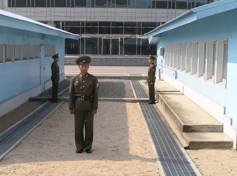
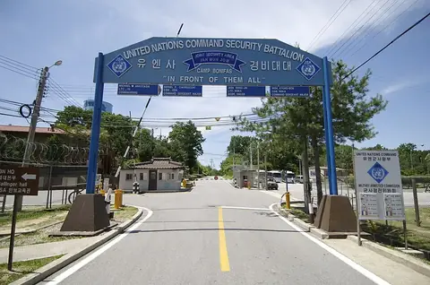
The nearest airport is Seoul Gimpo International Airport in South Korea, located 44 kilometers away. The region is 143 kilometers from Pyongyang. Nearby sites include the Bridge of No Return at 4.9 kilometers, Panmunjom at 5.4 kilometers, the Third Tunnel of Aggression at 6.7 kilometers, Camp Bonifas at 8.8 kilometers, and the Mausoleum of King Kongmin at 14.5 kilometers.
Weather by month
The warmest month is August, with an average high of 28 °C. The wettest is July, with about 432 mm of rain.
| Jan | Feb | Mar | Apr | May | Jun | Jul | Aug | Sep | Oct | Nov | Dec | |
|---|---|---|---|---|---|---|---|---|---|---|---|---|
| Average high, °C | 0 | 4 | 9 | 16 | 22 | 26 | 28 | 28 | 24 | 18 | 10 | 3 |
| Average low, °C | -10 | -6 | -1 | 5 | 11 | 17 | 21 | 21 | 16 | 8 | 0 | -6 |
| Rainfall, mm | 19 | 23 | 44 | 70 | 115 | 135 | 432 | 338 | 170 | 52 | 54 | 20 |
| Rainy days | 3 | 4 | 5 | 7 | 7 | 11 | 18 | 18 | 12 | 8 | 7 | 4 |
Temperatures and rainfall: 1981–2010 averages for this spot (4 km grid), from CHELSA. Rainy days: 2015–2024, NASA POWER.