Mount Kumgang 금강산
Haenam, North Korea UNESCO World Heritage Site
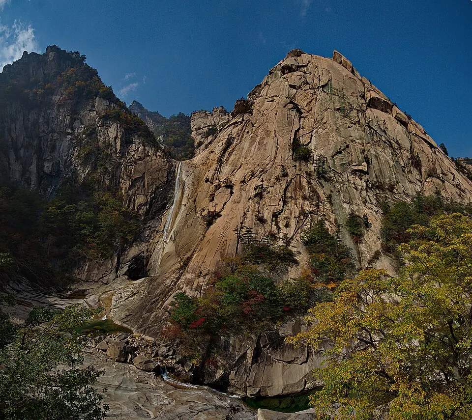
Mount Kumgang is a mountain range and mountain within the Taebaek Mountains. It is a UNESCO World Heritage Site and is one of the 12 sights of North Korea listed on this site. It is the 7th most looked-up sight in North Korea on English Wikipedia.
Planning a visit
The climate varies by month. The warmest months are July and August, with daily highs of about 21 °C, but these months also have the most rain, with about 427 mm to 490 mm and 18 rainy days each. The coldest month is January, with a high of -5 °C and a low of -15 °C. April through October offer moderate temperatures, while November to March are colder.
To reach Mount Kumgang, you can fly to Wonsan Kalma Airport, which is 78 km away. The site is 208 km from the capital, Pyongyang. Yangyang International Airport in South Korea is 83 km from the area.
Weather by month
The warmest month is August, with an average high of 21 °C. The wettest is August, with about 490 mm of rain.
| Jan | Feb | Mar | Apr | May | Jun | Jul | Aug | Sep | Oct | Nov | Dec | |
|---|---|---|---|---|---|---|---|---|---|---|---|---|
| Average high, °C | -5 | -3 | 1 | 9 | 15 | 18 | 21 | 21 | 16 | 11 | 4 | -2 |
| Average low, °C | -15 | -13 | -7 | 0 | 6 | 11 | 15 | 16 | 10 | 3 | -4 | -10 |
| Rainfall, mm | 65 | 64 | 79 | 100 | 166 | 200 | 427 | 490 | 352 | 161 | 136 | 62 |
| Rainy days | 3 | 4 | 6 | 7 | 8 | 11 | 18 | 18 | 12 | 9 | 7 | 4 |
Temperatures and rainfall: 1981–2010 averages for this spot (4 km grid), from CHELSA. Rainy days: 2015–2024, NASA POWER.