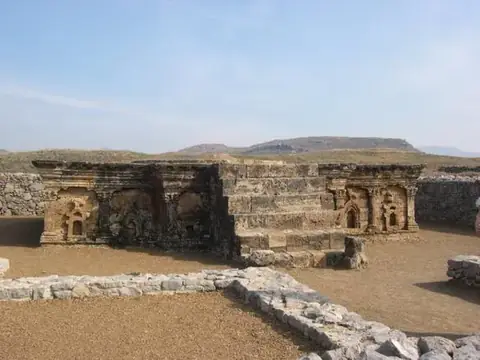
Khyber Pass دَرۂ خَیبَر
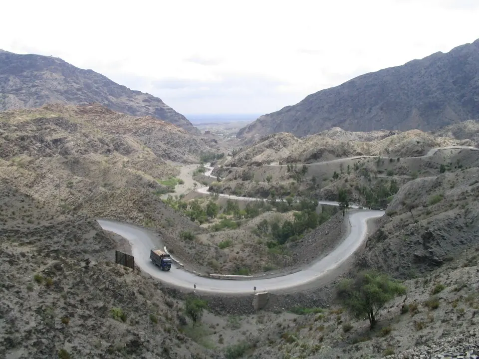
The Khyber Pass is a mountain pass and rail mountain pass located in the Safēd Kōh range of Pakistan. It is one of the most looked-up sights in the country on Wikipedia.
Planning a visit
The pass sits at an elevation of 1,072 meters. For cooler, drier weather, consider visiting in October or November, when daily highs range from 20 °C to 25 °C and rainy days are fewer. Temperatures rise significantly in summer, with June and July seeing highs of 33 °C to 34 °C and increased rainfall, particularly in July and August with about 18 rainy days each month.
The nearest airport is Bacha Khan International Airport in Peshawar, located 39 kilometers away. The site is 183 kilometers from Islamabad.
Weather by month
The warmest month is June, with an average high of 34 °C. The wettest is March, with about 103 mm of rain.
| Jan | Feb | Mar | Apr | May | Jun | Jul | Aug | Sep | Oct | Nov | Dec | |
|---|---|---|---|---|---|---|---|---|---|---|---|---|
| Average high, °C | 12 | 14 | 18 | 24 | 30 | 34 | 33 | 31 | 30 | 25 | 20 | 15 |
| Average low, °C | 2 | 4 | 8 | 13 | 18 | 22 | 23 | 23 | 20 | 14 | 9 | 5 |
| Rainfall, mm | 43 | 73 | 103 | 94 | 56 | 40 | 72 | 90 | 46 | 29 | 20 | 29 |
| Rainy days | 9 | 8 | 13 | 12 | 12 | 11 | 18 | 18 | 9 | 5 | 6 | 3 |
Temperatures and rainfall: 1981–2010 averages for this spot (4 km grid), from CHELSA. Rainy days: 2015–2024, NASA POWER.