Taxila
Pakistan UNESCO World Heritage Site
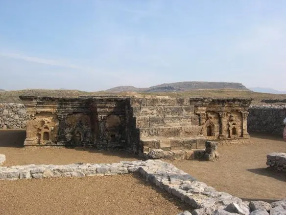
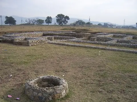
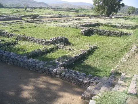
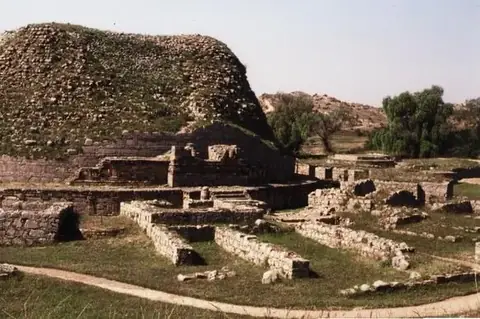
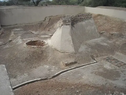
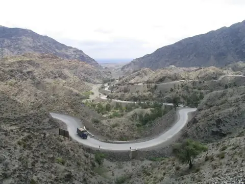
Taxila is an archaeological site located in the Rawalpindi District of Pakistan. It is a designated World Heritage Site. It ranks as the 5th most looked-up sight in Pakistan on English Wikipedia out of 32 sights on this site.
Planning a visit
The site experiences daily highs and lows. January is the coolest month with daily highs of 15 °C and lows of 4 °C, while June reaches up to 37 °C with lows of 24 °C. July is the wettest month with 302 mm of rain falling over about 22 days, whereas November and December see drier conditions with only 26 mm to 48 mm of rain.
Taxila is located 21 km from Islamabad and 22 km from Islamabad International Airport in Attock. Nearby places to combine with a visit include Bhir Mound at 0.6 km, Sirkap at 1.7 km, Dharmarajika Stupa at 2.5 km, Margalla Hills at 19.1 km, and Faisal Mosque at 20.6 km.
Weather by month
The warmest month is June, with an average high of 37 °C. The wettest is July, with about 302 mm of rain.
| Jan | Feb | Mar | Apr | May | Jun | Jul | Aug | Sep | Oct | Nov | Dec | |
|---|---|---|---|---|---|---|---|---|---|---|---|---|
| Average high, °C | 15 | 17 | 22 | 28 | 34 | 37 | 33 | 32 | 31 | 28 | 22 | 17 |
| Average low, °C | 4 | 6 | 10 | 15 | 20 | 24 | 25 | 24 | 22 | 16 | 10 | 6 |
| Rainfall, mm | 80 | 112 | 137 | 92 | 49 | 80 | 302 | 284 | 113 | 38 | 26 | 48 |
| Rainy days | 7 | 6 | 10 | 9 | 8 | 12 | 22 | 19 | 10 | 5 | 4 | 3 |
Temperatures and rainfall: 1981–2010 averages for this spot (4 km grid), from CHELSA. Rainy days: 2015–2024, NASA POWER.