Mount Makiling
Los Baños, Philippines
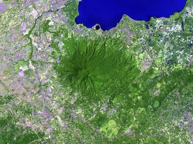
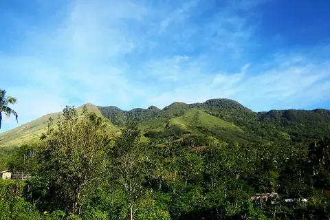
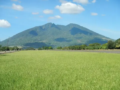
Mount Makiling is an andesite stratovolcano and mountain in the Laguna province. It is an ASEAN Heritage Park and is one of the 69 most looked-up sights in the Philippines.
Planning a visit
The driest months are February and March, with about 13 to 16 rainy days and the lowest rainfall. From May through December, rainfall increases, peaking in July with 379 mm of rain. Temperatures remain between 21 °C and 29 °C throughout the year.
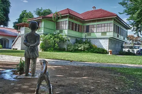
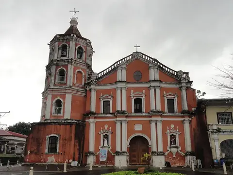
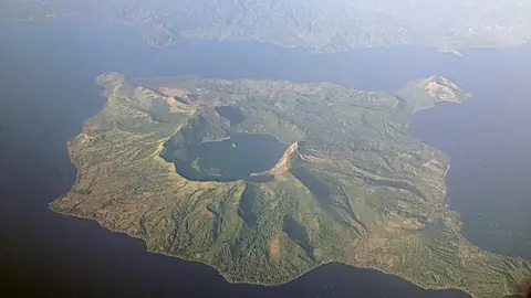
Mount Makiling is about 57 km from Manila. The nearest airport is Ninoy Aquino International Airport in Manila (Pasay), which is 46 km away. Nearby sights include the Rizal Shrine (about 10 km), Lake Sampaloc (about 15 km), San Pablo Cathedral (about 15 km), Mount San Cristobal (about 25 km), and Taal Volcano (about 26 km).
Weather by month
The warmest month is April, with an average high of 29 °C. The wettest is July, with about 379 mm of rain.
| Jan | Feb | Mar | Apr | May | Jun | Jul | Aug | Sep | Oct | Nov | Dec | |
|---|---|---|---|---|---|---|---|---|---|---|---|---|
| Average high, °C | 25 | 26 | 28 | 29 | 29 | 29 | 28 | 27 | 27 | 27 | 27 | 25 |
| Average low, °C | 21 | 21 | 22 | 23 | 23 | 23 | 23 | 23 | 23 | 22 | 22 | 21 |
| Rainfall, mm | 57 | 35 | 40 | 52 | 158 | 263 | 379 | 322 | 313 | 302 | 244 | 174 |
| Rainy days | 23 | 17 | 13 | 13 | 23 | 26 | 28 | 27 | 26 | 27 | 28 | 28 |
Temperatures and rainfall: 1981–2010 averages for this spot (4 km grid), from CHELSA. Rainy days: 2015–2024, NASA POWER.