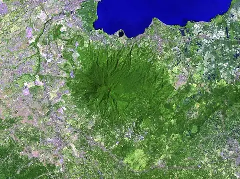
Taal Volcano
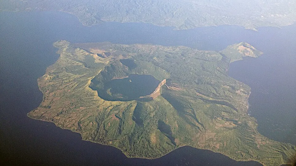
Taal Volcano is a caldera and volcano located in the Batangas province of the Philippines. Covering an area of 267 square kilometers, it is one of the most looked-up sights in the country on English Wikipedia.
Planning a visit
The driest time to visit is from February through April, when rainfall is lowest. The months from June through November experience significant rainfall, with many rainy days. Temperatures remain consistent throughout the year, with daily highs ranging between 28 °C and 32 °C and lows between 23 °C and 26 °C.
The volcano is located 65 kilometers from Manila. The nearest airport is Ninoy Aquino International Airport, situated 55 kilometers away. You can combine a trip here with visits to the Taal Basilica, located 16.4 kilometers away, Mount Makiling at 25.6 kilometers, or the Rizal Shrine at 29.1 kilometers.
Weather by month
The warmest month is April, with an average high of 32 °C. The wettest is July, with about 301 mm of rain.
| Jan | Feb | Mar | Apr | May | Jun | Jul | Aug | Sep | Oct | Nov | Dec | |
|---|---|---|---|---|---|---|---|---|---|---|---|---|
| Average high, °C | 28 | 29 | 31 | 32 | 31 | 30 | 29 | 29 | 29 | 29 | 29 | 28 |
| Average low, °C | 23 | 23 | 24 | 25 | 26 | 25 | 25 | 25 | 25 | 25 | 24 | 23 |
| Rainfall, mm | 24 | 16 | 20 | 33 | 112 | 204 | 301 | 257 | 236 | 219 | 138 | 82 |
| Rainy days | 23 | 17 | 13 | 13 | 23 | 26 | 28 | 27 | 26 | 27 | 28 | 28 |
Temperatures and rainfall: 1981–2010 averages for this spot (4 km grid), from CHELSA. Rainy days: 2015–2024, NASA POWER.