Réunion
Territory · Africa, Eastern Africa
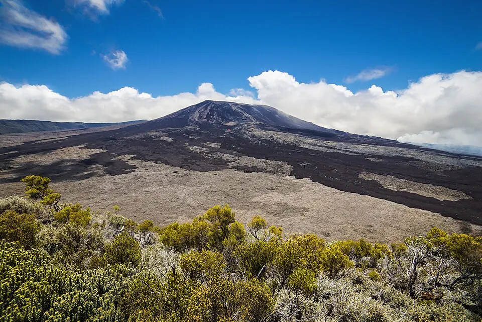
Réunion is a French territory located in Eastern Africa. It covers an area of about 2,500 square kilometers and has a population of about 890,000 people, with Saint-Denis as its capital. The territory offers access to volcanic peaks and protected natural areas.
Highlights
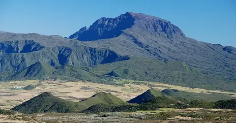
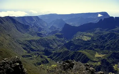
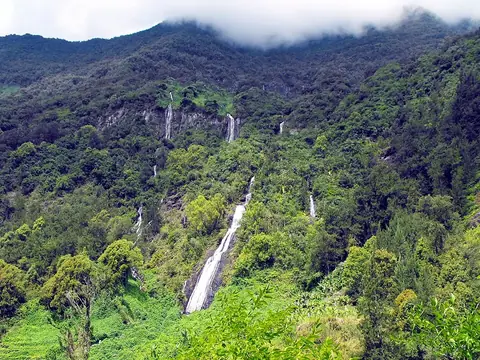
This guide covers 4 major sights, primarily focused on the island's volcanic terrain. The Réunion National Park serves as the central hub for exploring the landscape. Notable geological features include the active volcano Piton de la Fournaise and the dormant Piton des Neiges, which is the highest point on the island. Additionally, the area known as Mafate is accessible for trekking. Outside of these primary sites, the area of Trou de Fer is also present.
When to go
The weather data for Saint-Denis indicates distinct seasonal variations. January through March are the warmest months, with daily highs around 28 °C, but these months also experience the highest rainfall, with up to 22 rainy days in March. The drier period occurs from July through October, when rainfall drops to between 54 mm and 74 mm per month, and daily highs range from 23 °C to 25 °C.
Practical notes
The official language is French, and the currency is the euro. The territory uses Type E plugs with a voltage of 220 V. Driving is on the right side of the road. The time zone is UTC+04:00, and the calling code is +262.
Top sights in Réunion
Weather by month
The warmest month is February, with an average high of 28 °C. The wettest is February, with about 473 mm of rain.
| Jan | Feb | Mar | Apr | May | Jun | Jul | Aug | Sep | Oct | Nov | Dec | |
|---|---|---|---|---|---|---|---|---|---|---|---|---|
| Average high, °C | 28 | 28 | 28 | 27 | 25 | 24 | 23 | 23 | 24 | 25 | 26 | 27 |
| Average low, °C | 25 | 25 | 25 | 24 | 22 | 21 | 20 | 19 | 20 | 21 | 22 | 24 |
| Rainfall, mm | 366 | 473 | 328 | 164 | 115 | 74 | 68 | 63 | 62 | 54 | 82 | 210 |
| Rainy days | 19 | 18 | 22 | 19 | 11 | 16 | 10 | 10 | 7 | 8 | 10 | 11 |
Temperatures and rainfall: 1981–2010 averages for Saint-Denis (4 km grid), from CHELSA. Rainy days: 2015–2024, NASA POWER.
Also worth a look
- Trou de Fer