Piton de la Fournaise
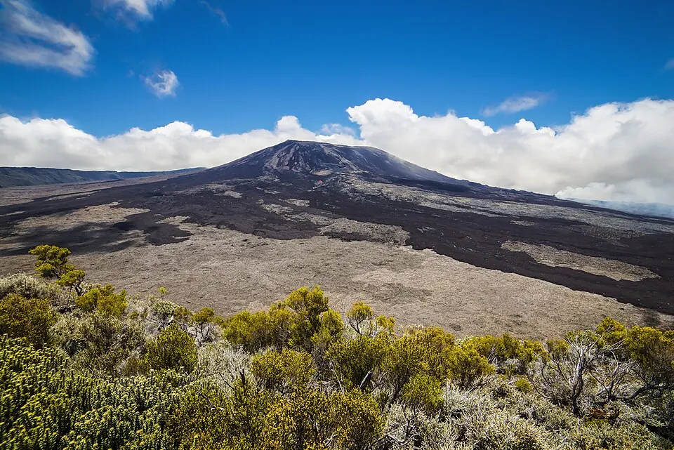
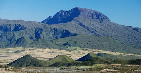
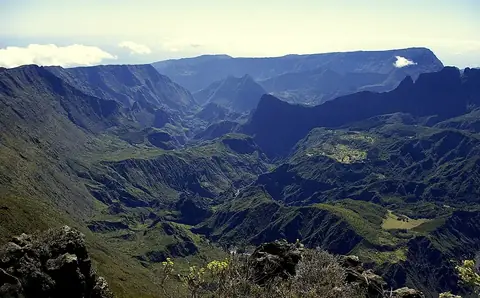
Piton de la Fournaise is a shield volcano, summit, and the highest point in Réunion, situated in the Piton de la Fournaise massif. It is one of the sights in Réunion and ranks first by English Wikipedia lookups among the country's sights. The elevation is 2621 meters.
Planning a visit
The warmest months are January through March, with daily highs of 16 °C and lows of 12 °C, though these months also experience high rainfall, reaching up to 921 mm in February. September and October have lower rainfall, with 221 mm on about 7 days in September and 181 mm on about 8 days in October, alongside daily highs of 10 °C to 12 °C and lows of 5 °C to 7 °C. The coldest months are July and August, featuring highs of 9 °C and lows of 4 °C.
The nearest airport is Saint-Pierre Pierrefonds Airport in Saint-Pierre, located 31 km away. The site is 49 km from the capital, Saint-Denis. Nearby locations include Réunion National Park at 23.8 km, Piton des Neiges at 28.6 km, and Mafate at 36.4 km.
Weather by month
The warmest month is January, with an average high of 16 °C. The wettest is February, with about 921 mm of rain.
| Jan | Feb | Mar | Apr | May | Jun | Jul | Aug | Sep | Oct | Nov | Dec | |
|---|---|---|---|---|---|---|---|---|---|---|---|---|
| Average high, °C | 16 | 16 | 16 | 15 | 12 | 10 | 9 | 9 | 10 | 12 | 14 | 15 |
| Average low, °C | 12 | 12 | 12 | 10 | 8 | 6 | 5 | 4 | 5 | 7 | 8 | 10 |
| Rainfall, mm | 689 | 921 | 693 | 530 | 372 | 287 | 314 | 261 | 221 | 181 | 213 | 401 |
| Rainy days | 19 | 18 | 22 | 19 | 11 | 16 | 10 | 10 | 7 | 8 | 10 | 11 |
Temperatures and rainfall: 1981–2010 averages for this spot (4 km grid), from CHELSA. Rainy days: 2015–2024, NASA POWER.