Vredefort impact structure
South Africa UNESCO World Heritage Site

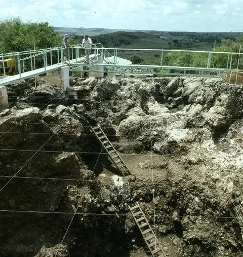
The Vredefort impact structure is a geological site covering 300 square kilometers across the Free State and North West provinces of South Africa. As a UNESCO World Heritage Site, it is recognized as an impact crater and hill. It ranks as the most looked-up sight in South Africa on English Wikipedia.
Planning a visit
The site experiences its mildest temperatures from May through August, with daily highs ranging between 17 °C and 20 °C and minimal rainfall. Summer months from November to January are warmer, reaching highs of 27 °C, but also bring more frequent rain, with about 13 rainy days in both January and December. Visitors should plan accordingly based on these seasonal conditions.
The nearest airport is Lanseria International Airport in Johannesburg, located 110 kilometers away. The site is 142 kilometers from Pretoria. As a prominent geological area, it is accessible for those interested in the impact structure's unique landscape.
Weather by month
The warmest month is December, with an average high of 27 °C. The wettest is January, with about 116 mm of rain.
| Jan | Feb | Mar | Apr | May | Jun | Jul | Aug | Sep | Oct | Nov | Dec | |
|---|---|---|---|---|---|---|---|---|---|---|---|---|
| Average high, °C | 27 | 26 | 25 | 22 | 20 | 17 | 18 | 21 | 24 | 25 | 26 | 27 |
| Average low, °C | 16 | 15 | 14 | 10 | 6 | 3 | 2 | 5 | 9 | 12 | 14 | 15 |
| Rainfall, mm | 116 | 84 | 84 | 38 | 15 | 8 | 4 | 12 | 20 | 74 | 89 | 115 |
| Rainy days | 13 | 12 | 8 | 7 | 2 | 1 | 1 | 1 | 2 | 5 | 10 | 13 |
Temperatures and rainfall: 1981–2010 averages for this spot (4 km grid), from CHELSA. Rainy days: 2015–2024, NASA POWER.