Bangudae Petroglyphs 울주 대곡리 반구대 암각화
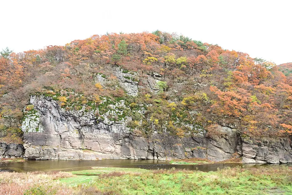
The Bangudae Petroglyphs are a petroglyphic site located in Ulju County, Eonyang, within Ulsan, South Korea. These National Treasures of South Korea are part of the Daegokcheon Stream Petroglyphs and the Petroglyphs along the Bangucheon Stream. This location is one of the 47 most looked-up sights in South Korea.
Planning a visit
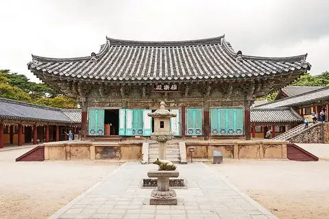
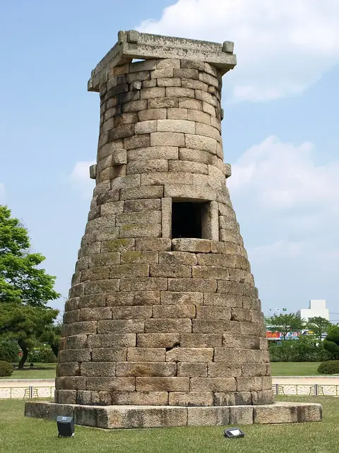
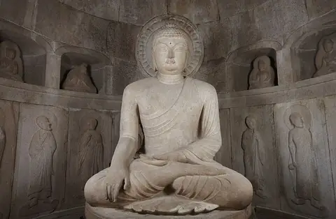
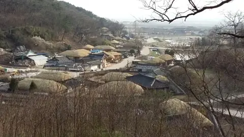
The site is 292 km from Seoul. Travelers can reach the area via Ulsan Airport, which is 16 km away, or Gimhae International Airport, located 52 km away. Other nearby points of interest include Ulsan Munsu Football Stadium, 10.6 km away, Bulguksa, 24.9 km away, Cheomseongdae, 25.9 km away, Seokguram, 26.3 km away, and Yangdong Folk Village, 44.7 km away. More information is available on the official website at https://www.ulsan.go.kr/s/bangudae.
The climate varies throughout the year. December is the driest month with about 18 mm of rain. The wettest months are July and August, which see between 232 mm and 239 mm of rain. Temperatures range from a low of -4 °C in January to highs of 28 °C in July and August. April has highs of 18 °C and lows of 6 °C, while May has highs of 22 °C and lows of 12 °C. October has highs of 19 °C and lows of 10 °C.
Weather by month
The warmest month is August, with an average high of 28 °C. The wettest is August, with about 239 mm of rain.
| Jan | Feb | Mar | Apr | May | Jun | Jul | Aug | Sep | Oct | Nov | Dec | |
|---|---|---|---|---|---|---|---|---|---|---|---|---|
| Average high, °C | 4 | 7 | 11 | 18 | 22 | 25 | 28 | 28 | 24 | 19 | 13 | 7 |
| Average low, °C | -4 | -3 | 1 | 7 | 12 | 16 | 21 | 22 | 17 | 11 | 3 | -2 |
| Rainfall, mm | 27 | 36 | 56 | 80 | 96 | 162 | 232 | 239 | 158 | 44 | 36 | 18 |
| Rainy days | 5 | 6 | 8 | 8 | 8 | 12 | 18 | 16 | 14 | 8 | 6 | 5 |
Temperatures and rainfall: 1981–2010 averages for this spot (4 km grid), from CHELSA. Rainy days: 2015–2024, NASA POWER.