Jeju Volcanic Island and Lava Tubes 제주 화산섬과 용암 동굴
South Korea UNESCO World Heritage Site
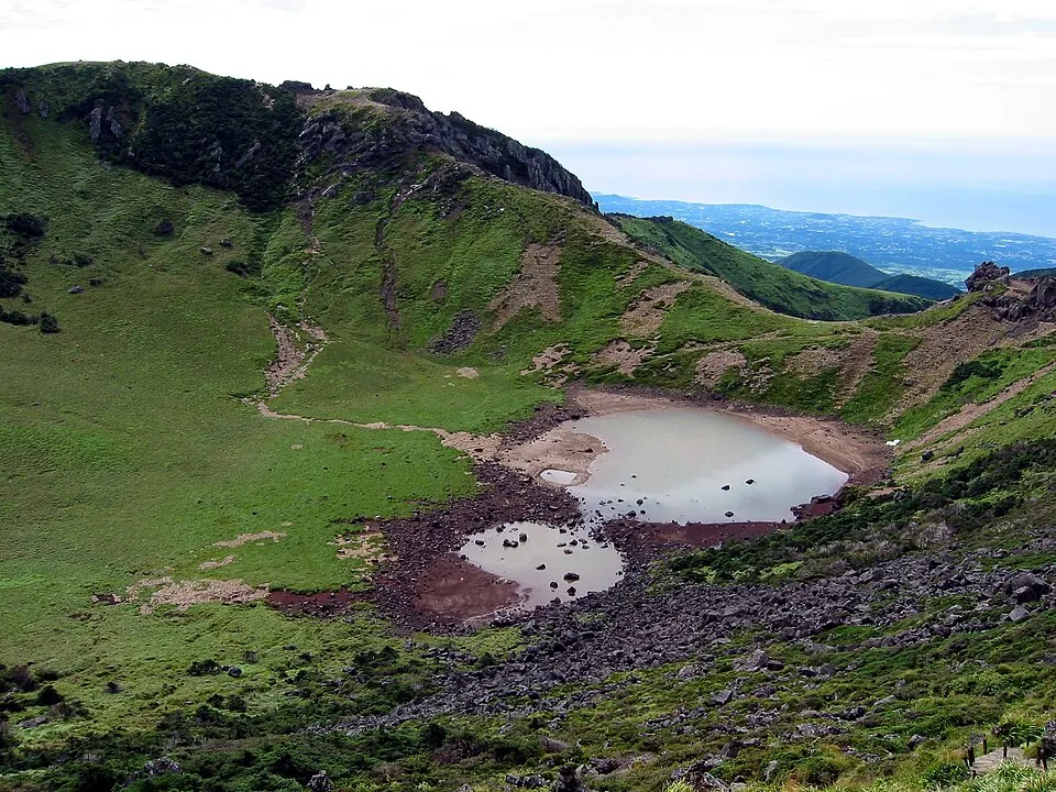
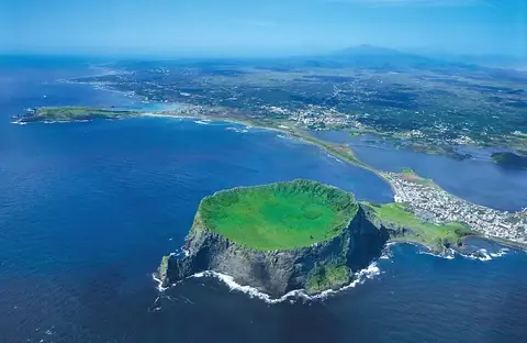
Jeju Volcanic Island and Lava Tubes is a UNESCO World Heritage Site in South Korea. It covers an area of 95 km2 and is one of the 61 sights of the country listed on this site.
Planning a visit
The climate varies by month, with the warmest daytime temperatures in July at 22 °C and August at 21 °C. These months also see the highest rainfall, with August receiving about 545 mm over 16 days. The coldest period is in January, when daytime highs reach -1 °C and lows drop to -4 °C. October and November offer milder conditions with daytime highs between 8 °C and 13 °C and lower rainfall than the summer months.
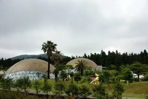
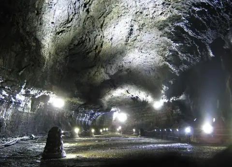
Visitors can reach the site via Jeju International Airport, which is 17 km away. The site is located 469 km from Seoul. Nearby locations include Love Land (10.8 km), Samseonghyeol (15.9 km), Manjanggul (28.8 km), and Seongsan Ilchulbong (39.5 km). Jeju Volcanic Island and Lava Tubes is the 39th most looked-up sight in South Korea on English Wikipedia.
Weather by month
The warmest month is July, with an average high of 22 °C. The wettest is August, with about 545 mm of rain.
| Jan | Feb | Mar | Apr | May | Jun | Jul | Aug | Sep | Oct | Nov | Dec | |
|---|---|---|---|---|---|---|---|---|---|---|---|---|
| Average high, °C | -1 | 1 | 5 | 10 | 14 | 18 | 22 | 21 | 18 | 13 | 8 | 2 |
| Average low, °C | -4 | -3 | 1 | 5 | 9 | 14 | 18 | 18 | 15 | 9 | 4 | -2 |
| Rainfall, mm | 114 | 122 | 191 | 220 | 242 | 399 | 483 | 545 | 384 | 147 | 127 | 88 |
| Rainy days | 8 | 8 | 8 | 9 | 9 | 12 | 17 | 16 | 13 | 7 | 8 | 7 |
Temperatures and rainfall: 1981–2010 averages for this spot (4 km grid), from CHELSA. Rainy days: 2015–2024, NASA POWER.