Jungfraujoch
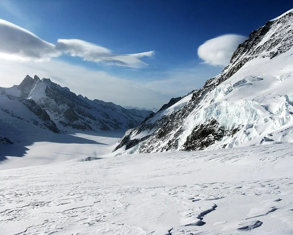
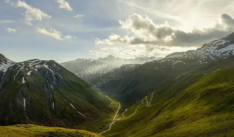
Jungfraujoch is a rail mountain pass and Ortschaft situated in the Bernese Alps of Switzerland at an elevation of 3471 meters. It stands as one of the most looked-up sights in the country on English Wikipedia. Spanning the Canton of Berne and Canton of Valais, it offers high-altitude alpine geography.
Planning a visit
July and August are the warmest months, with daily highs reaching 6 °C and lows of -3 °C, though they also experience rain on about 17 to 18 days. January and February are the coldest months, featuring daily highs of -15 °C to -13 °C and lows down to -22 °C, alongside frequent snowy precipitation.
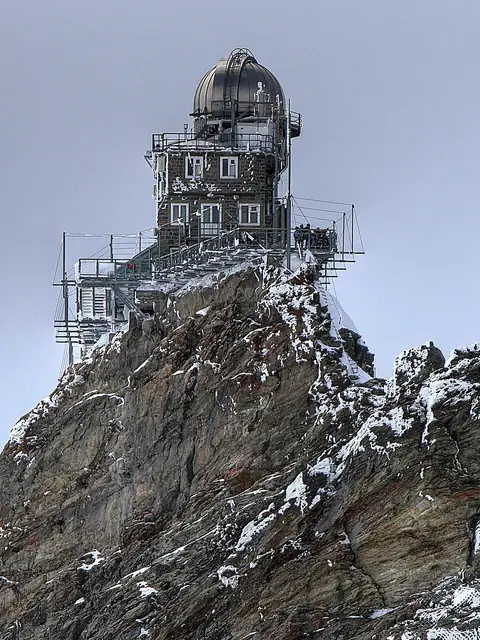
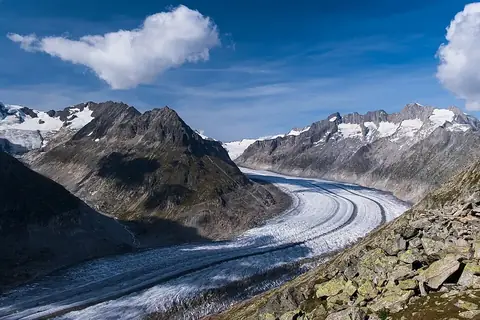
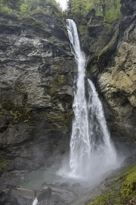
The nearest airport is Bern Airport, located 55 km away, while Zurich Airport is 110 km away. From the capital of Bern, the distance is 60 km. Nearby sights include the Sphinx Observatory at 0.2 km, Aletsch Glacier at 13.8 km, Oeschinen Lake at 20.4 km, Reichenbach Falls at 23.9 km, and the Swiss Alps at 39.9 km.
Weather by month
The warmest month is July, with an average high of 6 °C. Rain is spread fairly evenly through the year.
| Jan | Feb | Mar | Apr | May | Jun | Jul | Aug | Sep | Oct | Nov | Dec | |
|---|---|---|---|---|---|---|---|---|---|---|---|---|
| Average high, °C | -15 | -13 | -10 | -7 | -2 | 3 | 6 | 6 | 2 | -2 | -9 | -14 |
| Average low, °C | -22 | -21 | -18 | -14 | -10 | -6 | -3 | -3 | -7 | -11 | -17 | -21 |
| Rainfall, mm | 187 | 167 | 203 | 189 | 256 | 255 | 268 | 266 | 200 | 188 | 193 | 198 |
| Rainy days | 15 | 13 | 15 | 15 | 23 | 21 | 18 | 17 | 16 | 16 | 15 | 15 |
Temperatures and rainfall: 1981–2010 averages for this spot (4 km grid), from CHELSA. Rainy days: 2015–2024, NASA POWER.