Lake Lucerne Vierwaldstättersee
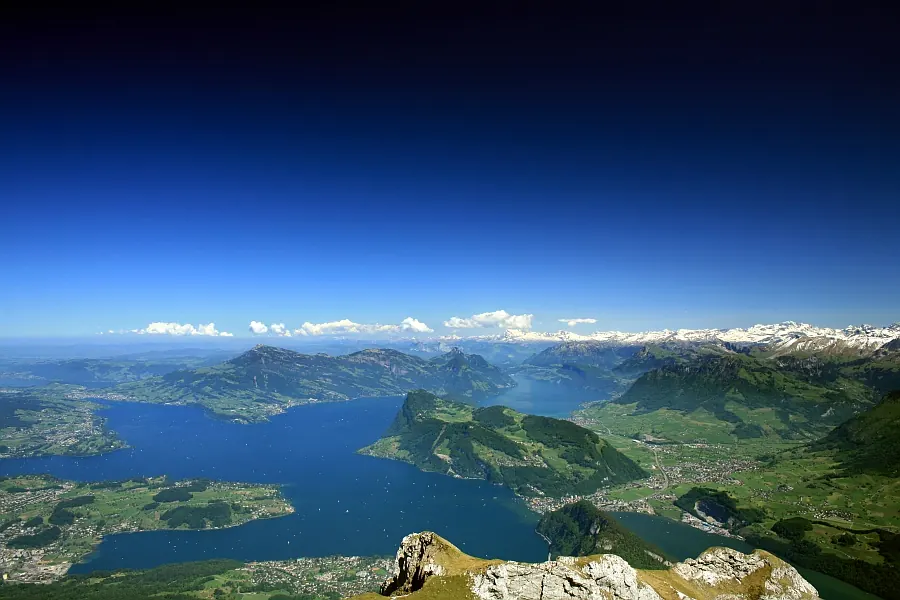
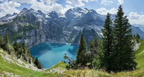
Lake Lucerne is a lake and area not part of a municipality of Switzerland situated in the Alps. It is one of the 42 sights of the country on this site and ranks 8 by English Wikipedia lookups among the country's sights. The lake sits at an elevation of 434 m and covers an area of 114 km2.
Planning a visit
July and August are the warmest months, with daily highs of 23 °C and lows of 14 °C to 15 °C, though they also experience the highest rainfall at 185 mm to 187 mm. January is the coldest month with highs of 4 °C and lows of -2 °C. The nearest airport is Zürich Airport, located 50 km away. The capital Bern is 73 km away.
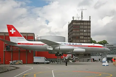
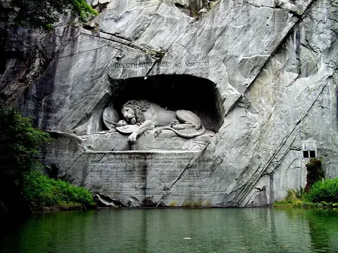
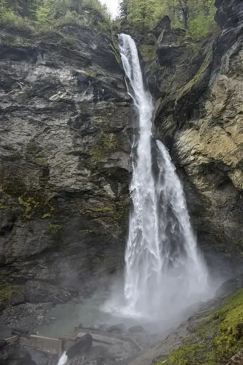
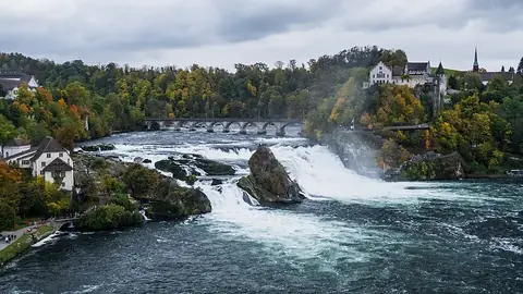
Nearby sights include the Swiss Museum of Transport at 6.2 km, Kapellbrücke at 7.9 km, and the Lion Monument at 8.1 km. Further away are Titlis at 27.7 km and Reichenbach Falls at 37.8 km.
Weather by month
The warmest month is July, with an average high of 23 °C. Rain is spread fairly evenly through the year.
| Jan | Feb | Mar | Apr | May | Jun | Jul | Aug | Sep | Oct | Nov | Dec | |
|---|---|---|---|---|---|---|---|---|---|---|---|---|
| Average high, °C | 4 | 6 | 10 | 13 | 18 | 21 | 23 | 23 | 19 | 15 | 9 | 5 |
| Average low, °C | -2 | -2 | 1 | 4 | 8 | 12 | 14 | 15 | 12 | 8 | 2 | -1 |
| Rainfall, mm | 97 | 98 | 119 | 119 | 164 | 177 | 185 | 187 | 142 | 106 | 112 | 116 |
| Rainy days | 15 | 13 | 14 | 14 | 20 | 19 | 17 | 16 | 14 | 14 | 15 | 14 |
Temperatures and rainfall: 1981–2010 averages for this spot (4 km grid), from CHELSA. Rainy days: 2015–2024, NASA POWER.