Kilimanjaro National Park
Tanzania UNESCO World Heritage Site
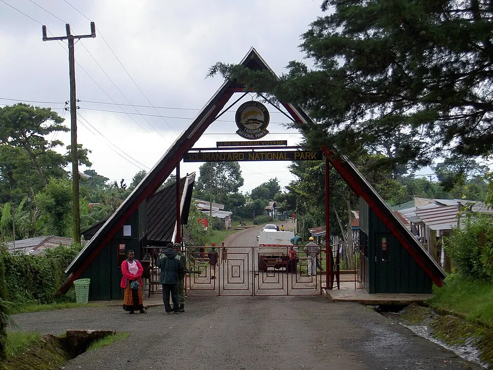
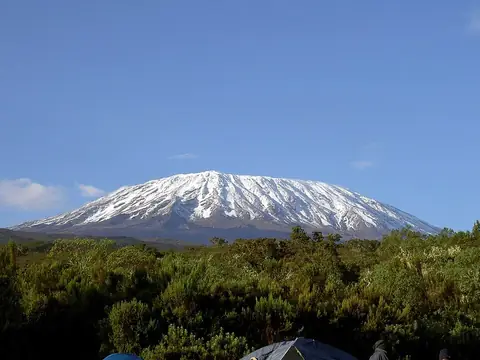
Kilimanjaro National Park is a 756 km² national park in the Kilimanjaro Region of Tanzania and a UNESCO World Heritage Site. It is the 11th most looked-up sight in the country on English Wikipedia.
Planning a visit
Daily highs are between 2 °C and 6 °C and lows are between -2 °C and -7 °C. August and September are the driest months, with about 80 mm of rain and about 8 to 10 rainy days. The wettest months are April, with about 827 mm of rain over 26 days, and May, with about 586 mm of rain over 23 days. November and December also have significant rainfall, with about 400 mm and 283 mm.
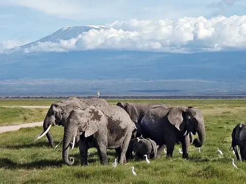
Kilimanjaro International Airport is 52 km away, and Amboseli Airport in Kenya is 49 km away. The park is 390 km from Dodoma. It is located near Mount Kilimanjaro, which is 0.8 km away, and Amboseli National Park, which is about 48 km away.
Weather by month
The warmest month is February, with an average high of 7 °C. The wettest is April, with about 827 mm of rain.
| Jan | Feb | Mar | Apr | May | Jun | Jul | Aug | Sep | Oct | Nov | Dec | |
|---|---|---|---|---|---|---|---|---|---|---|---|---|
| Average high, °C | 5 | 7 | 6 | 5 | 4 | 3 | 2 | 2 | 4 | 5 | 5 | 5 |
| Average low, °C | -2 | -2 | -2 | -2 | -3 | -6 | -7 | -7 | -6 | -4 | -3 | -3 |
| Rainfall, mm | 168 | 123 | 344 | 827 | 586 | 146 | 108 | 81 | 79 | 160 | 400 | 283 |
| Rainy days | 18 | 14 | 18 | 26 | 23 | 15 | 12 | 10 | 8 | 14 | 24 | 26 |
Temperatures and rainfall: 1981–2010 averages for this spot (4 km grid), from CHELSA. Rainy days: 2015–2024, NASA POWER.