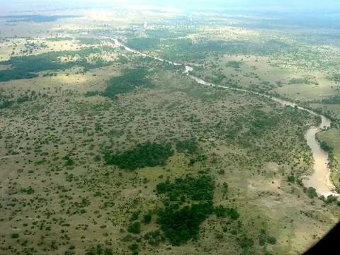
Amboseli National Park
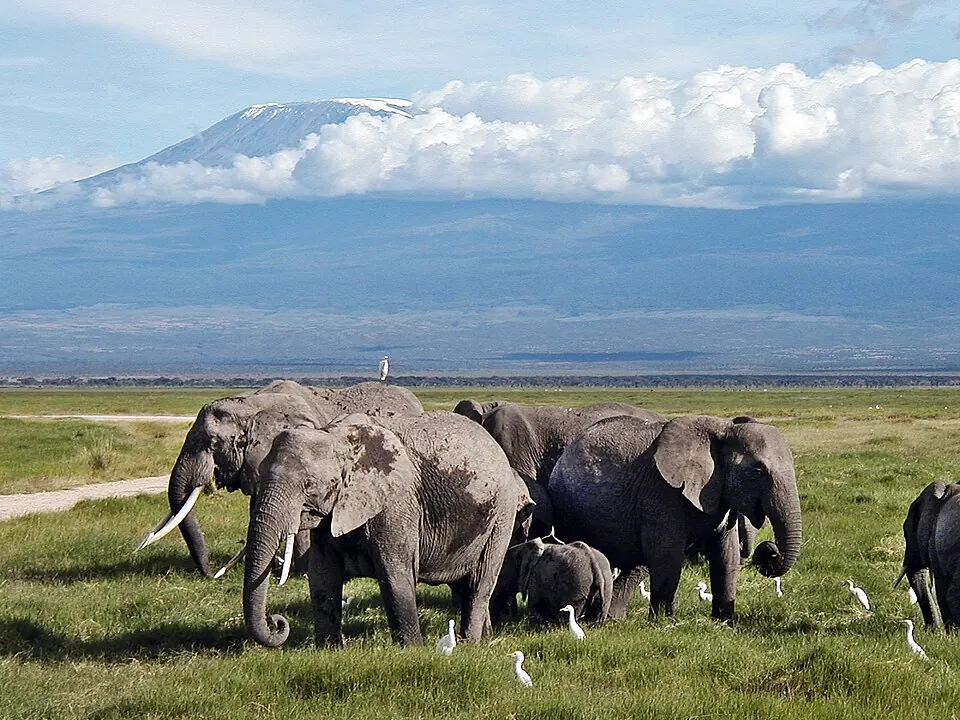
Established in 1974, Amboseli National Park is a 392-square-kilometer national park located in Kajiado County, Kenya. It is a Tentative World Heritage Site and ranks as the third most looked-up sight in the country on English Wikipedia.
Planning a visit
The climate in Amboseli National Park features distinct wet and dry seasons. Travelers seeking drier conditions may prefer visiting between July and September. During these months, rainfall is at its lowest, with as few as 5 to 10 rainy days per month. Temperatures during this period remain moderate, with daily highs around 25 °C to 27 °C and lows between 15 °C and 16 °C. Conversely, April and May are the wettest months, with 259 mm and 222 mm of rain respectively, and over 20 rainy days each.
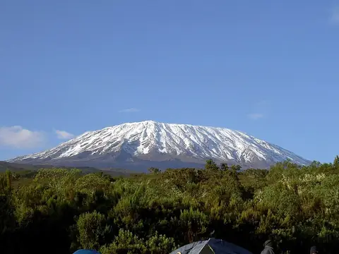
To reach the park from Nairobi, travelers must cover a distance of 159 km. The closest access point is Amboseli Airport, located 1 km away in Ol Tukai. Another option is Kilimanjaro International Airport in Arusha, Tanzania, which is 89 km from the park. Visitors often combine a trip to the park with excursions to Mount Kilimanjaro, located 47.9 km away, or Kilimanjaro National Park, which is 48.1 km from the site.
Weather by month
The warmest month is March, with an average high of 29 °C. The wettest is April, with about 259 mm of rain.
| Jan | Feb | Mar | Apr | May | Jun | Jul | Aug | Sep | Oct | Nov | Dec | |
|---|---|---|---|---|---|---|---|---|---|---|---|---|
| Average high, °C | 28 | 29 | 29 | 28 | 26 | 25 | 25 | 25 | 27 | 28 | 27 | 27 |
| Average low, °C | 18 | 19 | 19 | 19 | 18 | 16 | 15 | 15 | 16 | 17 | 18 | 18 |
| Rainfall, mm | 46 | 40 | 91 | 259 | 222 | 53 | 37 | 26 | 24 | 46 | 115 | 75 |
| Rainy days | 14 | 11 | 15 | 24 | 20 | 10 | 8 | 6 | 5 | 12 | 24 | 23 |
Temperatures and rainfall: 1981–2010 averages for this spot (4 km grid), from CHELSA. Rainy days: 2015–2024, NASA POWER.