Ngorongoro Conservation Area
Tanzania UNESCO World Heritage Site
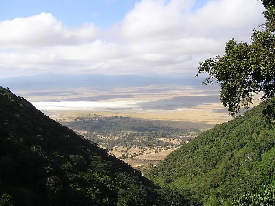
The Ngorongoro Conservation Area is a protected area in Tanzania and a UNESCO World Heritage Site. Established in 1959, this vast region covers 8,292 square kilometers and is named after the Ngorongoro Crater. It ranks as the third most looked-up sight in the country on English Wikipedia.
Planning a visit
The driest months to visit are June, July, August, and September, which see minimal rainfall and daily highs between 17 °C and 19 °C. Rainfall is heaviest from November through April, with March experiencing the highest precipitation of 412 mm.
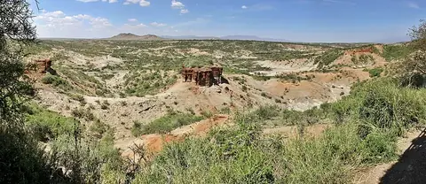
To reach the conservation area, travelers can fly into Kilimanjaro International Airport in Arusha, located 181 km away, or Seronera Airport, which is 110 km away. The area is 332 km from Dodoma. Olduvai Gorge, situated 28 km away, is a nearby location to combine with a visit.
Weather by month
The warmest month is October, with an average high of 20 °C. The wettest is December, with about 522 mm of rain.
| Jan | Feb | Mar | Apr | May | Jun | Jul | Aug | Sep | Oct | Nov | Dec | |
|---|---|---|---|---|---|---|---|---|---|---|---|---|
| Average high, °C | 19 | 20 | 20 | 18 | 17 | 17 | 17 | 18 | 19 | 20 | 19 | 19 |
| Average low, °C | 9 | 9 | 10 | 10 | 9 | 8 | 7 | 7 | 8 | 9 | 9 | 9 |
| Rainfall, mm | 379 | 241 | 412 | 336 | 103 | 18 | 7 | 10 | 18 | 57 | 268 | 522 |
| Rainy days | 22 | 17 | 22 | 26 | 21 | 9 | 3 | 4 | 7 | 14 | 24 | 25 |
Temperatures and rainfall: 1981–2010 averages for this spot (4 km grid), from CHELSA. Rainy days: 2015–2024, NASA POWER.