Timor-Leste
Country · Asia, South-eastern Asia
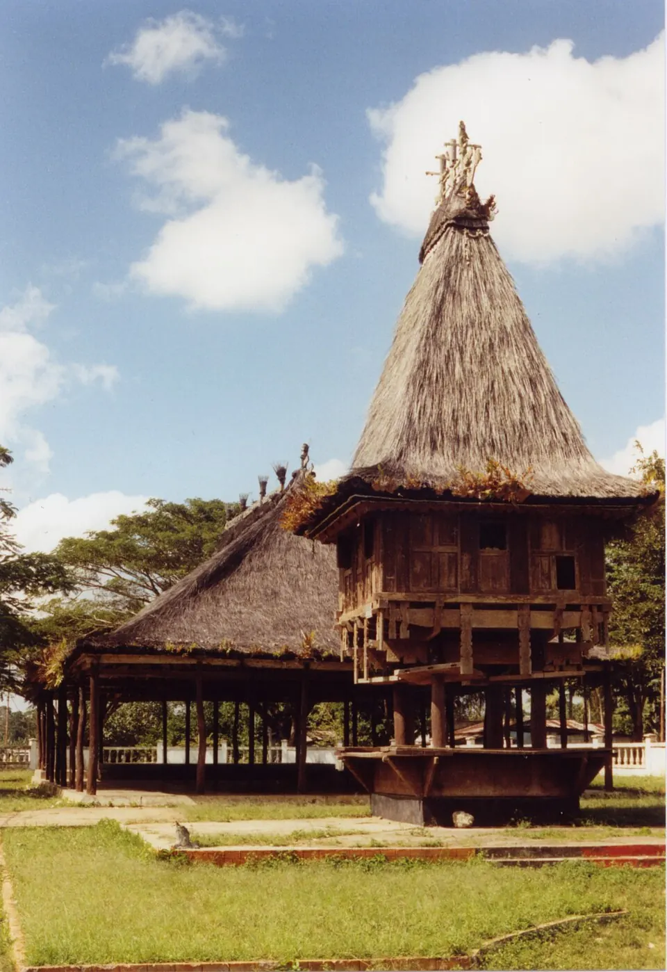
Timor-Leste is a country located in South-eastern Asia, sharing land or sea borders with Australia and Indonesia. The capital is Dili, and the country covers an area of 14,919 square kilometers with a population of about 1.4 million in 2025.
Highlights
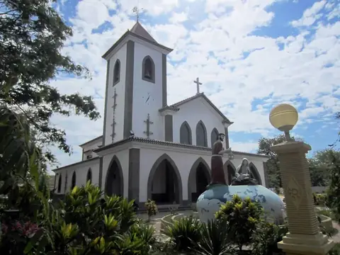
The site covers 1 top sight in total. Visitors can explore Motael Church.
When to go
The climate at the capital, Dili, features daily highs and lows. From June through October, rainfall is lower, with July and August seeing minimal rain on about 2 to 1 days respectively and daily highs around 30 °C to 31 °C. January and February experience heavier rainfall, reaching 178 mm and 167 mm over roughly 22 and 20 days, with daily highs of 29 °C to 30 °C and lows of 25 °C.
Practical notes
The official currency consists of United States dollars and East Timor centavo coins. Spoken languages include Portuguese and Tetum. Electrical systems use plugs C, E, F, and I at 220 volts. Driving is on the left side of the road. The time zone is UTC+09:00, and the telephone calling code is +670.
Top sights in Timor-Leste
Weather by month
Temperatures stay much the same all year, around 27 °C on average. The wettest is January, with about 178 mm of rain.
| Jan | Feb | Mar | Apr | May | Jun | Jul | Aug | Sep | Oct | Nov | Dec | |
|---|---|---|---|---|---|---|---|---|---|---|---|---|
| Average high, °C | 30 | 29 | 30 | 30 | 30 | 30 | 30 | 31 | 32 | 33 | 31 | 30 |
| Average low, °C | 25 | 25 | 25 | 25 | 25 | 24 | 23 | 23 | 23 | 24 | 25 | 25 |
| Rainfall, mm | 178 | 167 | 125 | 101 | 46 | 25 | 16 | 8 | 16 | 26 | 98 | 160 |
| Rainy days | 22 | 20 | 14 | 7 | 5 | 3 | 2 | 1 | 1 | 4 | 9 | 17 |
Temperatures and rainfall: 1981–2010 averages for Dili (4 km grid), from CHELSA. Rainy days: 2015–2024, NASA POWER.