Medina of Tunis
Tunis, Tunisia UNESCO World Heritage Site
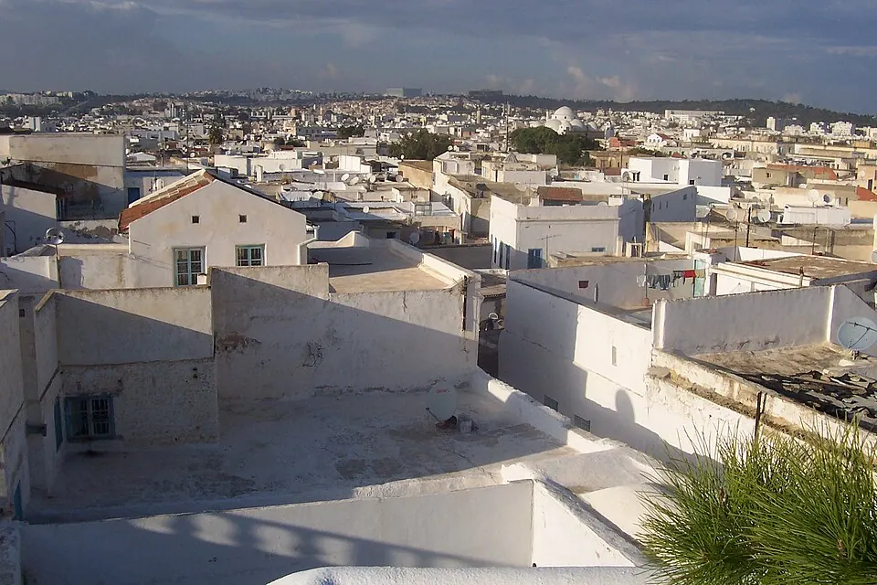
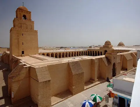
The Medina of Tunis is a medina quarter and urban area located in Tunis, Tunisia. It is recognized as a World Heritage Site and ranks as one of the most looked-up sights in the country on English Wikipedia. Spanning 2.964 square kilometers, it offers visitors a historic urban landscape to explore.
Planning a visit
The warmest months are July and August, with daily highs reaching 32 °C, while December and January see the highest rainfall, with about 73 mm and 69 mm respectively. Moderate temperatures occur in spring and autumn, such as May with highs of 24 °C and lows of 15 °C.
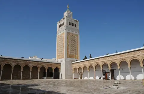
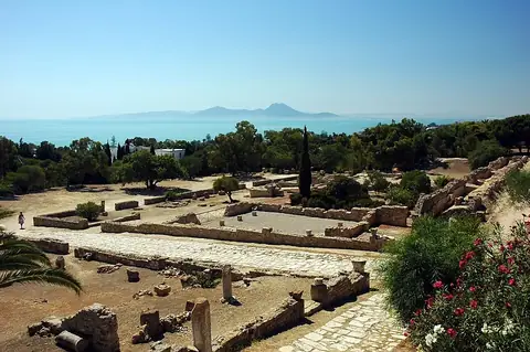
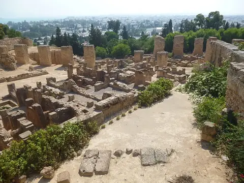
The site is located 1 km from the capital of Tunis. The nearest airport is Tunis Carthage International Airport, situated 8 km away. Nearby places to visit include the Al-Zaytuna Mosque at 0.2 km, the Bardo National Museum at 3.4 km, Carthage at 14.9 km, the Acropolium of Carthage at 14.9 km, and the Archaeological site of Carthage at 15.7 km.
Weather by month
The warmest month is August, with an average high of 32 °C. The wettest is December, with about 73 mm of rain.
| Jan | Feb | Mar | Apr | May | Jun | Jul | Aug | Sep | Oct | Nov | Dec | |
|---|---|---|---|---|---|---|---|---|---|---|---|---|
| Average high, °C | 15 | 15 | 18 | 20 | 24 | 29 | 32 | 32 | 29 | 25 | 20 | 16 |
| Average low, °C | 8 | 8 | 10 | 12 | 15 | 18 | 21 | 22 | 20 | 17 | 13 | 10 |
| Rainfall, mm | 69 | 50 | 43 | 40 | 25 | 12 | 3 | 8 | 49 | 49 | 55 | 73 |
| Rainy days | 10 | 7 | 8 | 7 | 7 | 3 | 1 | 5 | 8 | 8 | 10 | 10 |
Temperatures and rainfall: 1981–2010 averages for this spot (4 km grid), from CHELSA. Rainy days: 2015–2024, NASA POWER.