Burdur
City in Turkey
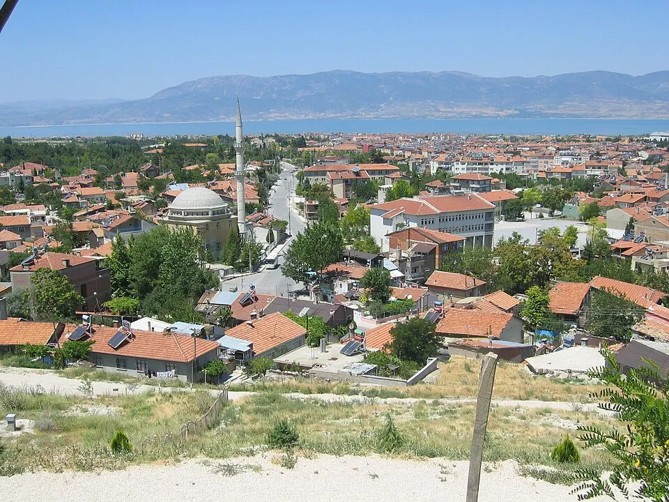
Burdur is located in Turkey, 331 kilometers from the capital, Ankara. With a population of about 95,000, the city serves as a base for visitors exploring the nearby ancient site of Sagalassos and the natural environment of Lake Salda.
What to see
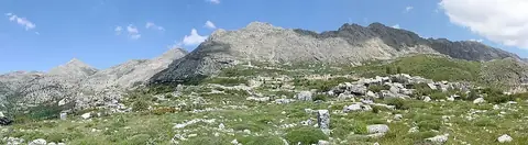
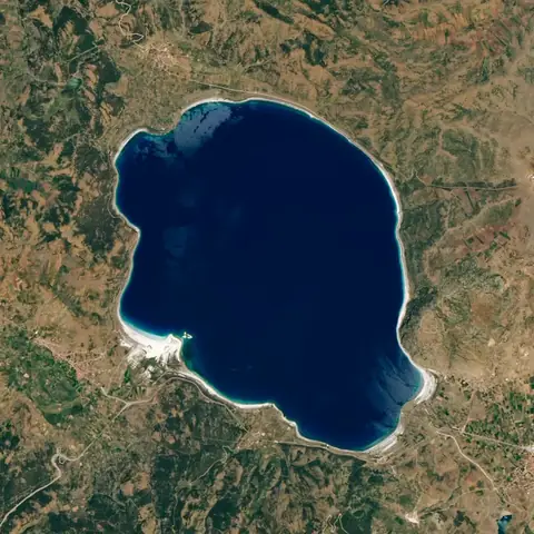
The area surrounding Burdur features two primary points of interest. Visitors can explore the ancient site of Sagalassos or visit the natural landscape of Lake Salda.
When to go
The warmest weather occurs from June through September, with daily highs ranging from 25 °C to 30 °C and relatively low rainfall. July and August are the driest months, seeing only 2 to 4 rainy days. Winter months, specifically December and January, are cold with temperatures dropping to freezing or below, and they experience the highest rainfall, with December seeing 74 mm of rain over about 12 days.
Getting there
The closest airport is Süleyman Demirel International Airport in Isparta, located 17 kilometers away. For wider international connections, Antalya International Airport is situated 102 kilometers from Burdur.
Top sights in Burdur
Weather by month
The warmest month is July, with an average high of 30 °C. The wettest is December, with about 74 mm of rain.
| Jan | Feb | Mar | Apr | May | Jun | Jul | Aug | Sep | Oct | Nov | Dec | |
|---|---|---|---|---|---|---|---|---|---|---|---|---|
| Average high, °C | 7 | 7 | 11 | 16 | 21 | 26 | 30 | 30 | 25 | 19 | 13 | 8 |
| Average low, °C | -1 | -1 | 1 | 5 | 9 | 14 | 17 | 17 | 13 | 9 | 4 | 1 |
| Rainfall, mm | 59 | 56 | 53 | 58 | 43 | 28 | 17 | 12 | 18 | 37 | 51 | 74 |
| Rainy days | 13 | 8 | 10 | 6 | 10 | 10 | 2 | 4 | 4 | 4 | 8 | 12 |
Temperatures and rainfall: 1981–2010 averages for Burdur (4 km grid), from CHELSA. Rainy days: 2015–2024, NASA POWER.