İzmir
City in Turkey
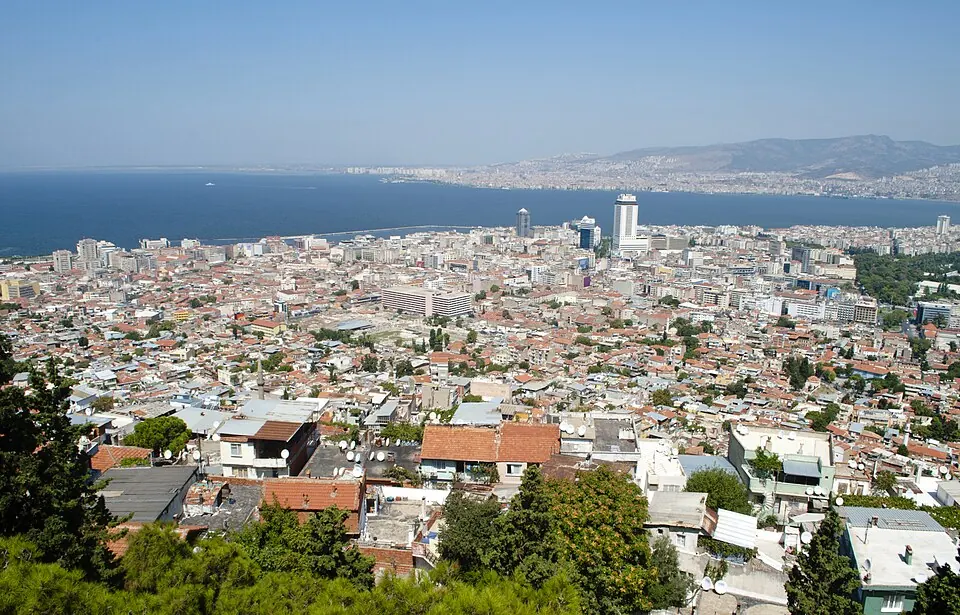
İzmir is located in Turkey and has a population of about 4.5 million. It is situated 520 km from Ankara, the country's capital. Visitors to the city come to see landmarks such as the historic Kadifekale and the Asansör.
What to see
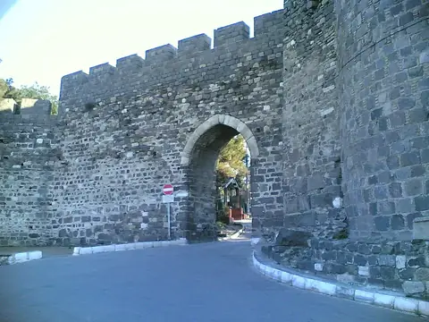
The city features two primary sights. Kadifekale is a historic fortification that overlooks the area. The Asansör is another notable structure available for visitors to see.
When to go
The climate in İzmir varies significantly throughout the year. The warmest period is from June through September, with daily highs ranging from 30 °C to 35 °C and very little rainfall. July and August are the hottest months, each averaging only about 1 day of rain. Spring, specifically May, offers milder temperatures with highs around 26 °C and low rainfall. The winter months, particularly December and January, are the wettest, with over 100 mm of rain each month and daily highs dropping to 11 °C or 12 °C. Travelers preferring dry and warm weather should plan their visit for the summer or late spring.
Getting there
The city is served by Adnan Menderes International Airport, which is located in Gaziemir, approximately 13 km from the center of İzmir.
Top sights in İzmir

Weather by month
The warmest month is July, with an average high of 35 °C. The wettest is December, with about 135 mm of rain.
| Jan | Feb | Mar | Apr | May | Jun | Jul | Aug | Sep | Oct | Nov | Dec | |
|---|---|---|---|---|---|---|---|---|---|---|---|---|
| Average high, °C | 11 | 12 | 15 | 20 | 26 | 31 | 35 | 34 | 30 | 23 | 17 | 13 |
| Average low, °C | 4 | 4 | 5 | 9 | 14 | 19 | 21 | 21 | 18 | 13 | 9 | 6 |
| Rainfall, mm | 117 | 90 | 75 | 48 | 27 | 10 | 3 | 2 | 17 | 40 | 106 | 135 |
| Rainy days | 12 | 9 | 10 | 6 | 5 | 5 | 1 | 1 | 2 | 4 | 8 | 9 |
Temperatures and rainfall: 1981–2010 averages for İzmir (4 km grid), from CHELSA. Rainy days: 2015–2024, NASA POWER.