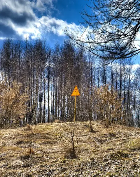
Duga radar
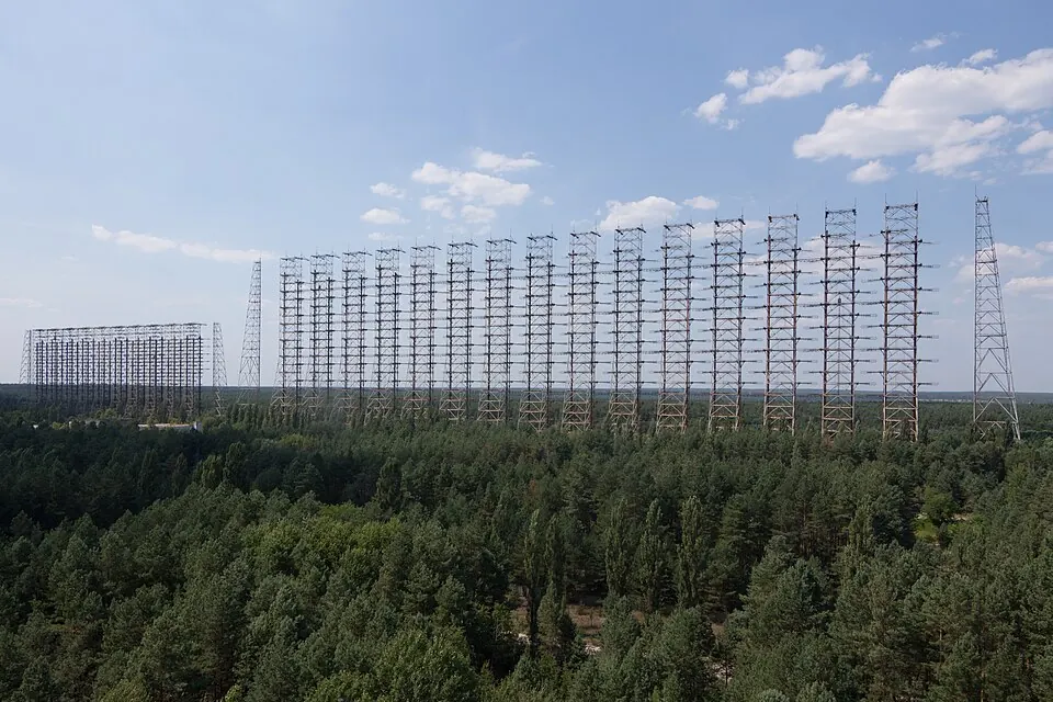
The Duga radar is an abandoned structure located in Vyshhorod Raion, Chernobyl, Ukraine. First established in 1976 by the Soviet Union, it remains one of the most looked-up sights in the country on English Wikipedia. The site provides a significant example of large-scale infrastructure from that era.
Planning a visit
The weather varies significantly throughout the year. The summer months of June, July, and August are the warmest, with daily high temperatures averaging between 22 °C and 24 °C. During this time, rainfall is most frequent, with July seeing about 84 mm of rain over 14 days. Winters are consistently cold, particularly from December through February, when daily high temperatures range from -2 °C to -1 °C and lows drop to -7 °C. These months also experience frequent precipitation.
Located 100 km from Kyiv, the site is accessible to visitors 24/7. Travelers arriving by air may use Gomel Airport in Belarus, which is 151 km away, or the larger Minsk National Airport, located 318 km away. For those planning an itinerary, the Duga radar is situated near other sites within the region, such as the Red Forest at 8.5 km and the Chernobyl New Safe Confinement at 9.7 km.
Weather by month
The warmest month is July, with an average high of 24 °C. The wettest is July, with about 84 mm of rain.
| Jan | Feb | Mar | Apr | May | Jun | Jul | Aug | Sep | Oct | Nov | Dec | |
|---|---|---|---|---|---|---|---|---|---|---|---|---|
| Average high, °C | -2 | -1 | 4 | 13 | 19 | 22 | 24 | 23 | 18 | 11 | 4 | -1 |
| Average low, °C | -6 | -7 | -3 | 3 | 10 | 13 | 15 | 15 | 10 | 5 | -1 | -5 |
| Rainfall, mm | 35 | 36 | 38 | 40 | 59 | 79 | 84 | 68 | 63 | 47 | 51 | 44 |
| Rainy days | 12 | 11 | 11 | 11 | 13 | 13 | 14 | 7 | 8 | 9 | 10 | 13 |
Temperatures and rainfall: 1981–2010 averages for this spot (4 km grid), from CHELSA. Rainy days: 2015–2024, NASA POWER.