United States Virgin Islands
Territory · Americas, Caribbean
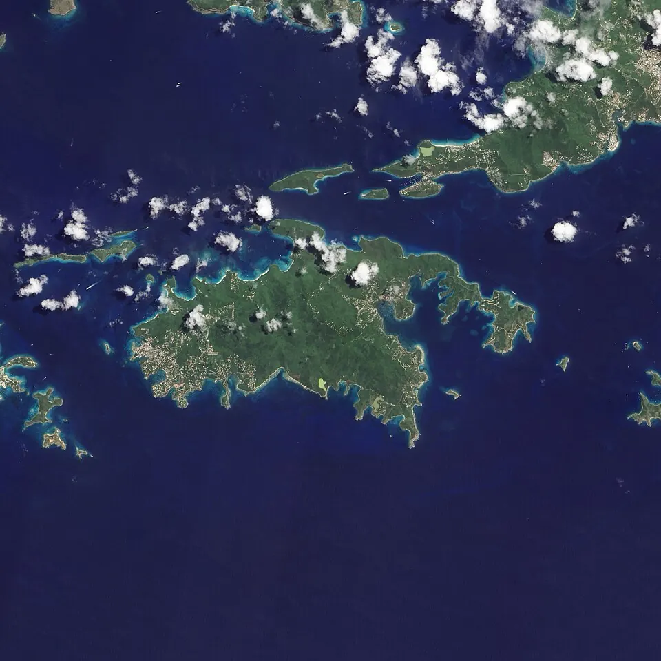
The United States Virgin Islands is a Caribbean territory with a population of about 104,000 and an area of 346 km2, featuring the capital Charlotte Amalie. It offers travellers island landscapes, historic sites, and national parks.
Highlights
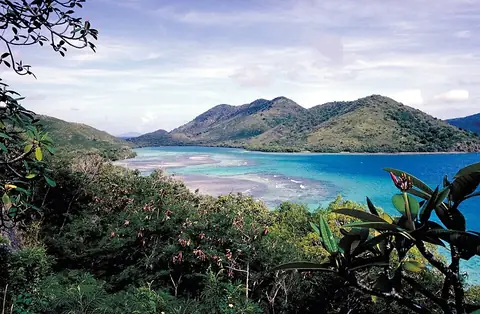
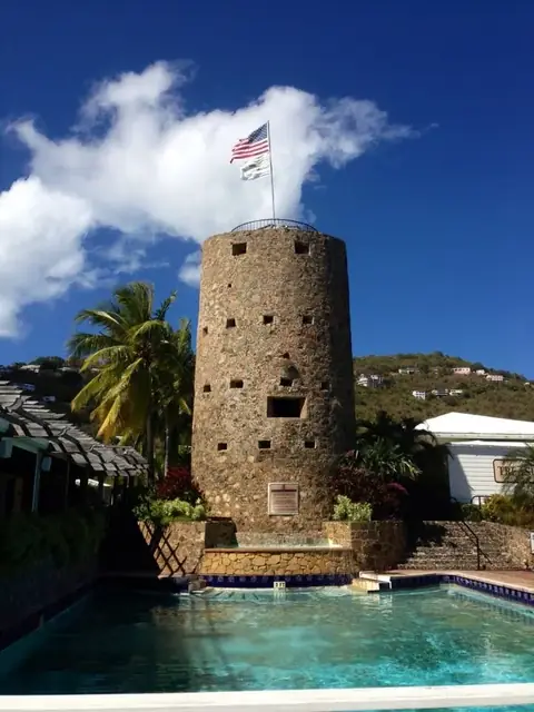
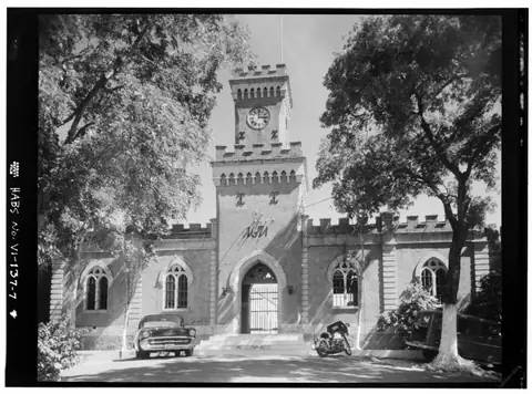
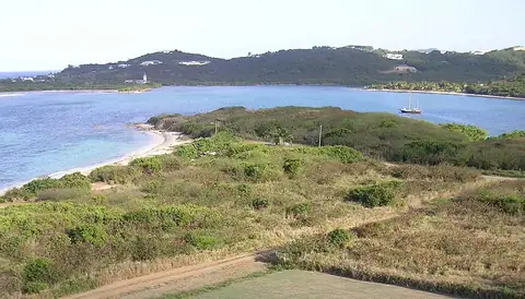
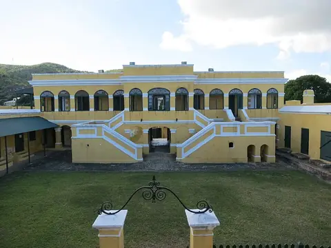
The site covers 7 top sights. Among them are natural areas such as Virgin Islands National Park, Buck Island Reef National Monument, and Salt River Bay National Historical Park and Ecological Preserve, alongside cultural and historic locations like Blackbeard's Castle, Point Udall, Fort Christian, and Christiansted National Historic Site. Key cities include Christiansted and Saint Thomas.
When to go
This climate information applies to the capital, Charlotte Amalie, using averages only. Temperatures remain stable throughout the year, with averages at 24 °C from January to March, 25 °C in April and December, 26 °C from May to July and October to November, and 27 °C in August and September. Monthly rainfall varies. February and March are the driest months, with 54 mm on about 7 days and 52 mm on about 6 days respectively. Rainfall increases in the autumn months, peaking in October and November with 173 mm on about 19 days and 186 mm on about 18 days.
Practical notes
The official currency is the United States dollar, and the spoken language is English. Driving is on the left side of the road. The time zone is UTC−04:00, and the electrical system operates at 110.0 V.
Top sights in United States Virgin Islands

Weather by month
The warmest month is September, averaging 27 °C. The wettest is November, with about 186 mm of rain.
| Jan | Feb | Mar | Apr | May | Jun | Jul | Aug | Sep | Oct | Nov | Dec | |
|---|---|---|---|---|---|---|---|---|---|---|---|---|
| Average temperature, °C | 24 | 24 | 24 | 25 | 26 | 26 | 27 | 27 | 27 | 26 | 26 | 25 |
| Rainfall, mm | 85 | 54 | 52 | 88 | 129 | 87 | 101 | 119 | 160 | 173 | 186 | 110 |
| Rainy days | 9 | 7 | 6 | 8 | 14 | 12 | 16 | 18 | 18 | 19 | 18 | 11 |
Temperatures and rainfall: 1981–2010 averages for Charlotte Amalie (4 km grid), from CHELSA. Rainy days: 2015–2024, NASA POWER.
Also worth a look
- Fort Frederik