Virgin Islands National Park
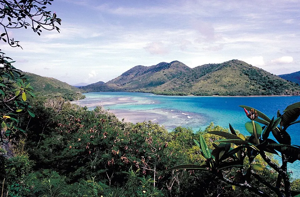
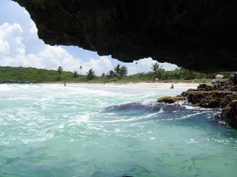
Virgin Islands National Park is a national park of the United States covering 60 square kilometers of land. Established in 1956 and operated by the National Park Service, it is one of the most looked-up sights in the United States Virgin Islands. The park reaches an elevation of 392 meters.
Planning a visit
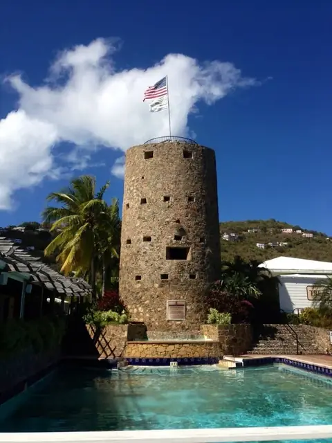
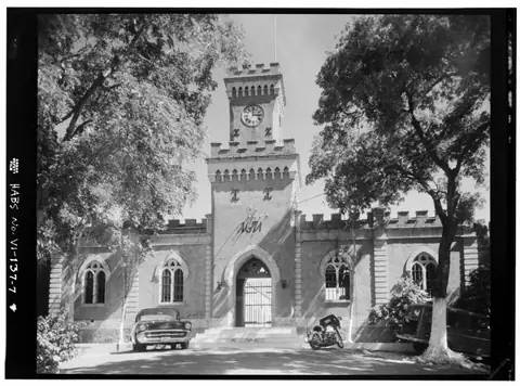
The climate in the park remains warm throughout the year, with average temperatures ranging from 24 °C to 27 °C. Visitors seeking drier conditions may prefer the months of February and March, which see lower rainfall totals of about 55 mm and 48 mm respectively. Rainfall increases in the latter half of the year, peaking in October and November with monthly totals of 172 mm and 190 mm. To access the park, the nearest airport is Terrance B. Lettsome International Airport in Beef Island, 23 km away. The park is also located 23 km from Charlotte Amalie. Several other points of interest are located within a short distance of the park. Visitors can include the Virgin Islands, which are 16.9 km away, in their itinerary. Additionally, Blackbeard's Castle and Fort Christian are both located 20.7 km from the site.
Weather by month
The warmest month is August, averaging 27 °C. The wettest is November, with about 190 mm of rain.
| Jan | Feb | Mar | Apr | May | Jun | Jul | Aug | Sep | Oct | Nov | Dec | |
|---|---|---|---|---|---|---|---|---|---|---|---|---|
| Average temperature, °C | 25 | 24 | 24 | 25 | 26 | 26 | 27 | 27 | 27 | 27 | 26 | 25 |
| Rainfall, mm | 85 | 55 | 48 | 92 | 134 | 83 | 101 | 117 | 157 | 172 | 190 | 120 |
| Rainy days | 9 | 7 | 6 | 8 | 14 | 12 | 16 | 18 | 18 | 19 | 18 | 11 |
Temperatures and rainfall: 1981–2010 averages for this spot (4 km grid), from CHELSA. Rainy days: 2015–2024, NASA POWER.