Mammoth Cave National Park
United States UNESCO World Heritage Site
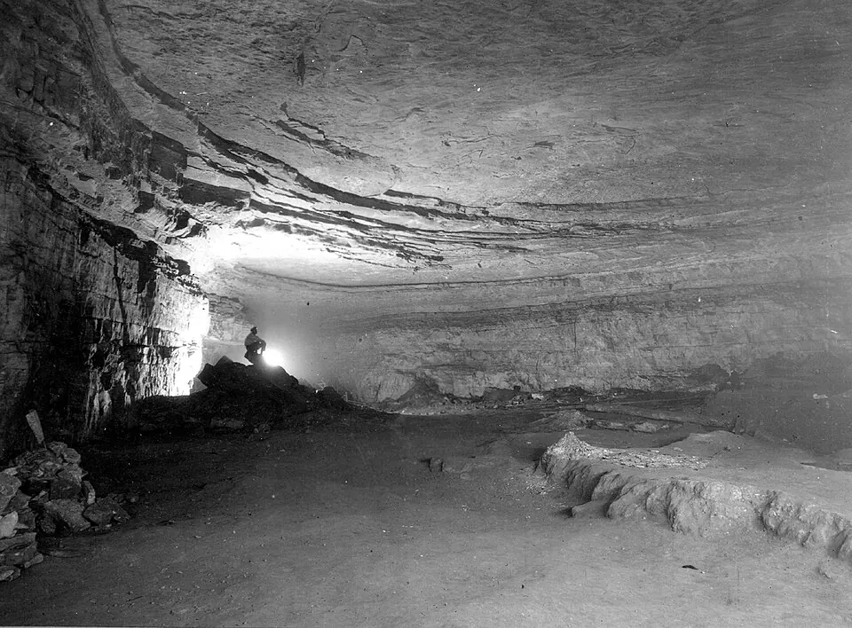
Mammoth Cave National Park is a national park and show cave in the United States. It is a UNESCO World Heritage Site and a biosphere reserve covering about 139,890 km2. It is one of the 78 most looked-up sights in the country on English Wikipedia and is among 120 sights of the country listed on this site.
Planning a visit
The park is part of the Mammoth Cave Area and spans Edmonson, Hart, and Barren Counties. It was established in 1941 and is managed by the National Park Service. In 2024, the park had about 747,000 visitors. To reach the site, travelers can use Owensboro Daviess County Airport, 112 km away, or Louisville Muhammad Ali International Airport, 114 km away. It is 816 km from Washington, D.C.
July is one of the warmest months, with a high of about 31 °C. For those preferring cooler weather, January has a high of about 7 °C and a low of -2 °C. The wettest month is May, which has about 148 mm of rain. Other months with significant rain include December, with about 126 mm, and March, with about 119 mm. August and October are the driest months, with about 93 mm of rain.
Weather by month
The warmest month is July, with an average high of 31 °C. Rain is spread fairly evenly through the year.
| Jan | Feb | Mar | Apr | May | Jun | Jul | Aug | Sep | Oct | Nov | Dec | |
|---|---|---|---|---|---|---|---|---|---|---|---|---|
| Average high, °C | 7 | 10 | 15 | 20 | 24 | 29 | 31 | 30 | 27 | 21 | 14 | 8 |
| Average low, °C | -1 | 0 | 4 | 9 | 14 | 19 | 21 | 21 | 17 | 11 | 6 | 0 |
| Rainfall, mm | 101 | 108 | 119 | 115 | 148 | 114 | 122 | 93 | 99 | 93 | 107 | 126 |
| Rainy days | 11 | 11 | 13 | 12 | 14 | 13 | 17 | 13 | 9 | 8 | 9 | 11 |
Temperatures and rainfall: 1981–2010 averages for this spot (4 km grid), from CHELSA. Rainy days: 2015–2024, NASA POWER.