Mount Baker
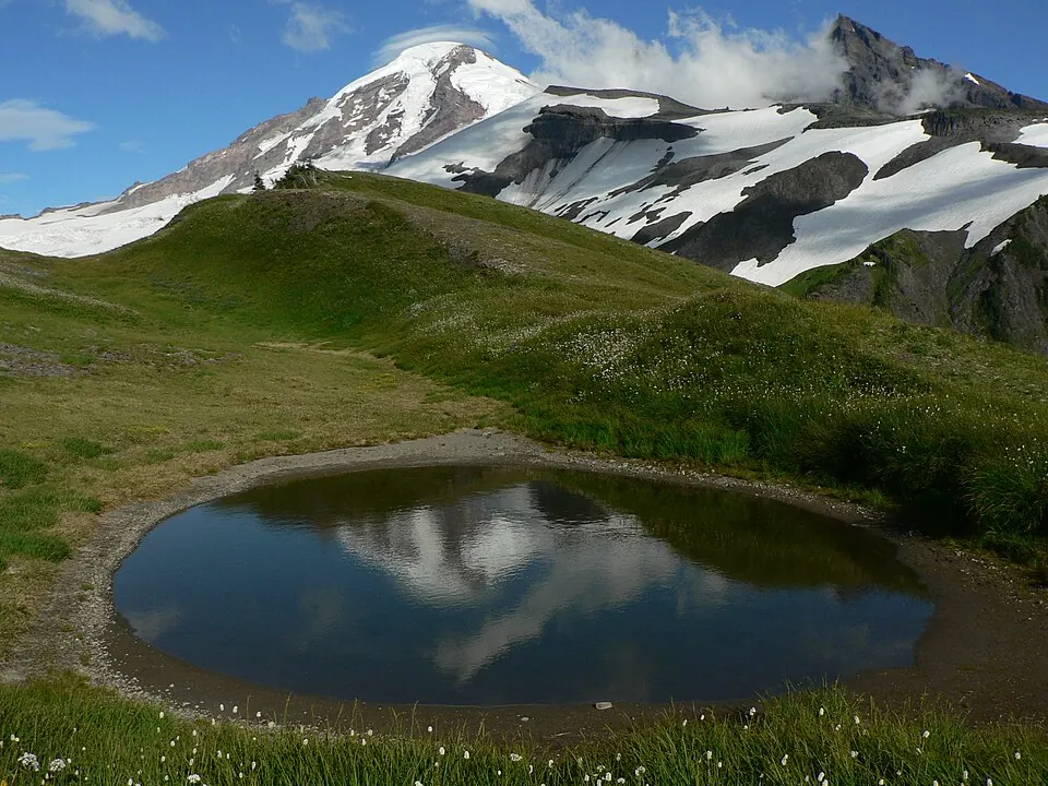
Mount Baker is a stratovolcano in the Skagit Range, part of the North Cascades in the United States. Reaching an elevation of 3,286 meters, this andesite mountain is one of the 120 sights of the United States featured on this site.
Planning a visit
The best time to visit is during July or August, when the weather is warmest with daily highs around 9 °C to 10 °C and the lowest rainfall of the year at about 8 rainy days per month. From November to January, the mountain is cold with highs below 0 °C and significant rainfall, reaching up to 690 mm in November.
To reach the mountain, you can fly to Abbotsford International Airport in Canada, which is 49 km away, or Vancouver International Airport, located 110 km away. Mount Baker is 3,696 km from Washington, D.C. The mountain is part of the North Cascades area.
Weather by month
The warmest month is August, with an average high of 10 °C. The wettest is November, with about 690 mm of rain.
| Jan | Feb | Mar | Apr | May | Jun | Jul | Aug | Sep | Oct | Nov | Dec | |
|---|---|---|---|---|---|---|---|---|---|---|---|---|
| Average high, °C | -8 | -7 | -6 | -4 | 1 | 5 | 9 | 10 | 7 | 0 | -6 | -8 |
| Average low, °C | -13 | -14 | -14 | -12 | -9 | -5 | -2 | -2 | -4 | -8 | -12 | -14 |
| Rainfall, mm | 598 | 384 | 378 | 294 | 214 | 180 | 99 | 104 | 187 | 433 | 690 | 567 |
| Rainy days | 21 | 21 | 21 | 20 | 17 | 15 | 8 | 8 | 14 | 19 | 22 | 23 |
Temperatures and rainfall: 1981–2010 averages for this spot (4 km grid), from CHELSA. Rainy days: 2015–2024, NASA POWER.