University of Virginia
Charlottesville, United States UNESCO World Heritage Site
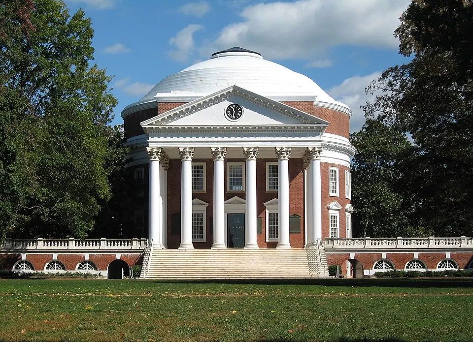
The University of Virginia is a public research university and educational institution in Charlottesville, Albemarle County, Virginia. Founded in 1819 and opened in 1825, it is part of a UNESCO World Heritage Site and is one of the most looked-up sights in the United States on English Wikipedia, ranked 56th.
Planning a visit
The climate in Charlottesville changes throughout the year. The warmest months are June, July, and August, with July reaching a high of 31 °C and a low of 20 °C. July is also the wettest month, seeing about 119 mm of rain over 16 days. For milder weather, April has highs of 20 °C and lows of 8 °C, while October has highs of 20 °C and lows of 10 °C with about 7 rainy days. In the winter, January is cold with highs of 7 °C and lows of -2 °C, and February has highs of 9 °C and lows of -1 °C. Other months like May and September also see warmer temperatures, with highs of 24 °C and 26 °C.
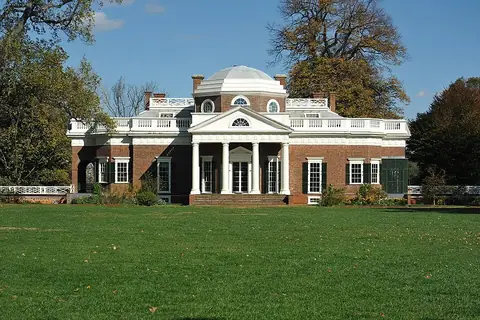
To reach the university, travelers can use Charlottesville Albemarle Airport, located 12 km away, or Richmond International Airport, which is 120 km away. The site is 159 km from Washington, D.C. Visitors can also combine their trip with a visit to Monticello, located 5.3 km from the university.
Weather by month
The warmest month is July, with an average high of 31 °C. Rain is spread fairly evenly through the year.
| Jan | Feb | Mar | Apr | May | Jun | Jul | Aug | Sep | Oct | Nov | Dec | |
|---|---|---|---|---|---|---|---|---|---|---|---|---|
| Average high, °C | 7 | 9 | 14 | 20 | 24 | 29 | 31 | 30 | 26 | 20 | 14 | 8 |
| Average low, °C | -2 | -1 | 3 | 8 | 13 | 18 | 20 | 20 | 16 | 10 | 4 | -1 |
| Rainfall, mm | 66 | 72 | 93 | 84 | 103 | 95 | 119 | 100 | 111 | 88 | 92 | 84 |
| Rainy days | 9 | 10 | 10 | 10 | 15 | 14 | 16 | 15 | 10 | 7 | 6 | 8 |
Temperatures and rainfall: 1981–2010 averages for this spot (4 km grid), from CHELSA. Rainy days: 2015–2024, NASA POWER.