Lower Zambezi National Park
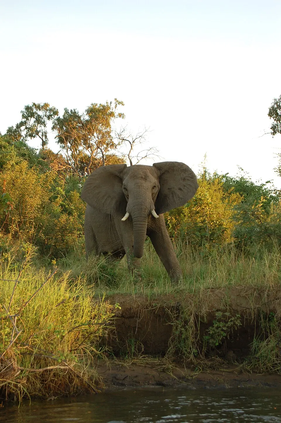
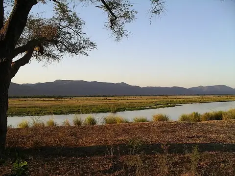
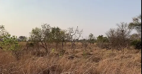
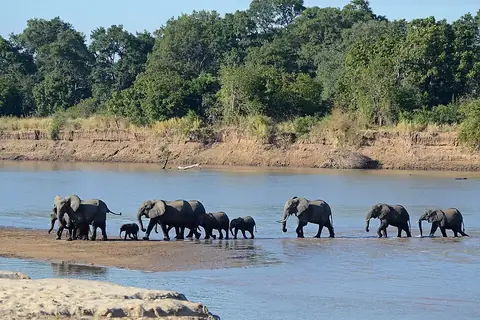
Lower Zambezi National Park is a 4,092 square kilometer national park located in Zambia's Lusaka Province. Established in 1983, the park sits at an elevation of 861 meters. It ranks as one of the 3 most looked-up sights on English Wikipedia within the country.
Planning a visit
The dry season, from May through September, is the most suitable time for a visit, as there is almost no rain during these months. Temperatures are generally moderate, with daily highs ranging from 26 °C in July to 29 °C in May and August. September brings warmer weather with highs of 33 °C. October is the hottest month, reaching 36 °C. The rainy season, occurring from November through March, sees significant precipitation, peaking in January with 231 mm of rain over approximately 22 days.
Lower Zambezi National Park is located 118 km from Lusaka. Visitors can arrive via Kenneth Kaunda International Airport in Lusaka, which is 105 km from the park, or Kariba Airport in Zimbabwe, situated 98 km away. Mana Pools National Park is 0 km from the park, allowing for easy combinations between the two locations.
Weather by month
The warmest month is October, with an average high of 36 °C. The wettest is January, with about 231 mm of rain.
| Jan | Feb | Mar | Apr | May | Jun | Jul | Aug | Sep | Oct | Nov | Dec | |
|---|---|---|---|---|---|---|---|---|---|---|---|---|
| Average high, °C | 30 | 30 | 31 | 30 | 29 | 27 | 27 | 29 | 33 | 36 | 35 | 32 |
| Average low, °C | 23 | 23 | 23 | 21 | 19 | 16 | 15 | 17 | 21 | 24 | 25 | 24 |
| Rainfall, mm | 231 | 180 | 99 | 27 | 4 | 1 | 1 | 1 | 1 | 15 | 67 | 199 |
| Rainy days | 22 | 18 | 11 | 5 | 0 | 0 | 0 | 0 | 0 | 1 | 8 | 16 |
Temperatures and rainfall: 1981–2010 averages for this spot (4 km grid), from CHELSA. Rainy days: 2015–2024, NASA POWER.